Bongil Bongil National Park protects 6 threatened ecological communities and several threatened plant and animal species, including a koala population of statewide significance. The park provides a range of nature-based recreational activities including bushwalking, cycling, fishing, beach walking, birdwatching, canoeing and opportunities for horse riding.
The plan for Bongil Bongil National Park will assist in managing recreational activities to enhance the visitor experience while protecting the park’s important natural and cultural values. The plan provides for the protection of koalas including habitat rehabilitation, enables management of significant additions to the park and provides increased opportunities for cycling and horse riding.
This is the second plan of management for this park and replaces the plan adopted in 1999.
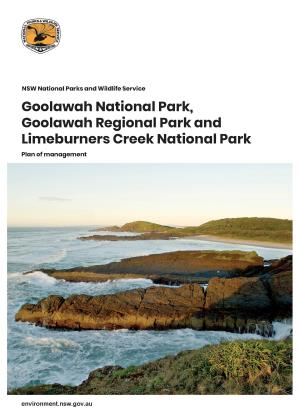
Photo: Tuckers Rocks, Bongil Bongil National Park / Michael Van Ewijk/DPE
Have your say
For further information and to have your say visit the Draft amendment to Bongil Bongil National Park: public consultation.
Comments close 4 March 2024.


