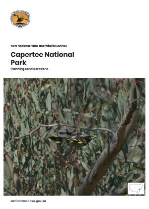
Keverstone National Park and State Conservation Area contain a number of significant vegetation communities, including an area of White Box-Yellow Box-Blakely‟s Red Gum Woodland Endangered Ecological Community. A large variety of native fauna, including many arboreal mammal species and birds recognised as declining woodland species, have been recorded in these parks as well as several Aboriginal artifact scatters.
Keverstone National Park and State Conservation Area Plan of Management
Keverstone National Park and State Conservation Area are situated approximately 40 kilometres north-west of Crookwell on the central tablelands of NSW. The first section of the park was reserved in 1979 and now covers 1,860 hectares, while the state conservation area covers 1,164 hectares.
- Date
- 1 March 2013
- Publisher
- Office of Environment and Heritage
- Type
- Publication, Plan of management, Final
- Status
- Final
- Cost
- Free
- Language
- English
- Tags
- ISBN 978-1-74359-029-4
- ID OEH20130174
- File PDF 744KB
- Pages 32
- Name keverstone-national-park-state-conservation-area-plan-of-management-130174.pdf


