Mugii Murum-ban State Conservation Area Draft Plan of Management
Public exhibition for this document was from 4 September 2015 to 31 December 2015. Public consultation for this document has ended.
Mugii Murum-ban State Conservation Area is located 40 kilometres north of Lithgow, 3 kilometres north-east of Capertee and 85 kilometres south-east of Mudgee. The park is 3650 hectares and is bounded to the south by the Glen Davis Road and Gardens of Stone National Park, and to the north by Capertee National Park.
- Date
- 1 September 2015
- Publisher
- Office of Environment and Heritage
- Type
-
Publication, Plan of management, Draft - closed for comment
- Status
- Draft
- Cost
- Free
- Language
- English
- Tags
-
-
ISBN
978-1-76039-069-3
-
ID
OEH20150508
-
Name
mugii-murum-ban-state-conservation-area-draft-plan-of-management-150508.pdf
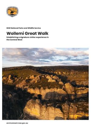
Mugii Murum-ban State Conservation Area is dominated by two prominent mesas which are major visual features of
the Capertee Valley. The area is described as having the greatest range and concentration of
pagodas within the greater Blue Mountains (Simpson 1993), and is known by some as the
‘three hundred sisters’ in reference to the number and diversity of pagodas.
The park contains a
great diversity of ecosystems, supporting several threatened plants and animals and two
threatened ecological communities. The area is of particular significance to the Wiradjuri
Aboriginal People and also contains numerous significant historic heritage sites. The park also
contains important mineral deposits and is recognised in particular as having economically
significant deposits of coal.


