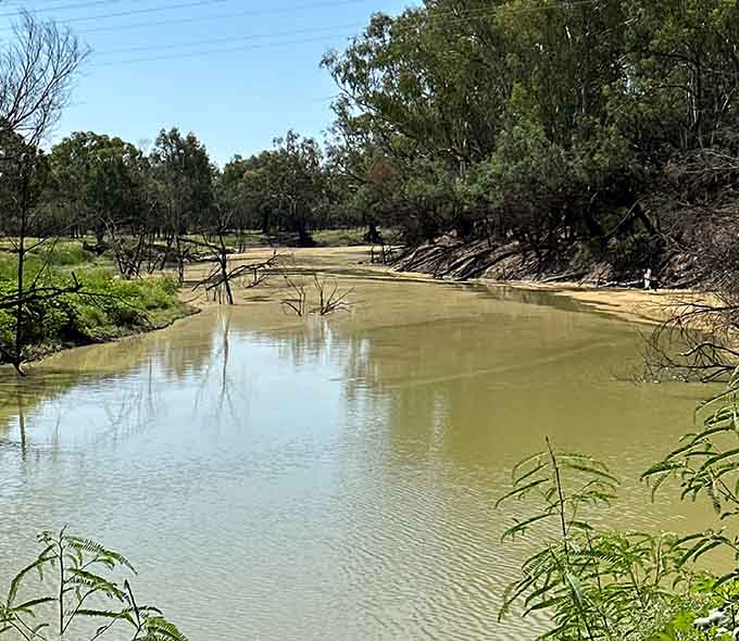
The Namoi-Peel in profile
The Namoi-Peel catchment, a vibrant agricultural region in northwest New South Wales, pulsates with life thanks to its network of rivers and creeks. It's the second-largest contributor of water to the Barwon River.
The Namoi River winds its way for roughly 700 kilometres westward. Formed by the confluence of the Macdonald River and Boundary Creek, it gathers strength from its tributaries – the Peel, Manilla and Mooki rivers, along with Coxs, Baradine and Bohena Creeks. Pian Creek is a significant anabranch that re-connects with the Namoi River near Walgett.
The Namoi nourishes plant and animal life along its journey, a benefit that extends downstream into the Barwon River. These waterways hold deep cultural significance for the Kamilaroi (Gomeroi) people, the traditional custodians of the land.
Rainfall in the catchment's upper reaches influences the river's flow. High flows spread across the floodplain, releasing vital nutrients that fuel the downstream aquatic food web. This, in turn, sustains the native flora and fauna that define the region's character.
The Namoi River between Gunnedah and Narrabri boasts a network of lagoons, wetlands, and anabranches, providing a refuge for native fish, waterbirds, and threatened species. Lake Goran, in the unregulated Mooki catchment, is a wetland of national significance, offering significant habitat for waterbirds when filled.
The lower Namoi landscape, while heavily modified for agriculture, still retains floodplain anabranches, known locally as warrambools. When floods occur these inundated warrambools become vital breeding grounds for native fish and sanctuaries for waterbirds.
Historically, the Namoi and Peel rivers teemed with 16 native fish species, several protected. These include the threatened silver perch, freshwater catfish, and Murray cod.
The rivers are also home to river mussels and yabbies, crucial for maintaining a healthy ecosystem and holding cultural significance for Aboriginal communities. Notably, the Peel River is a stronghold for the platypus, while the upper reaches of the Peel and the unregulated Cockburn River nurture a critical population of Booroolong frogs. However, native fish populations in the lower Namoi River, between Wee Waa and Walgett, are now in poor health.
Managing Water for the Environment
Healthy rivers, wetlands, and floodplains are vital for the Namoi-Peel catchment. A key tool for maintaining their health is water for the environment.
The NSW Government, through its Water for the Environment program, collaborates with local communities, Aboriginal people, other government agencies, and stakeholders. Together, they develop detailed annual plans for each catchment that advise how environmental water will be used and prioritised.
Three large dams regulate water flow in the Namoi-Peel catchment, including Split Rock Dam, Chaffey Dam, and Keepit Dam. A network of weirs further controls water levels on tributaries and distributaries.
Water shares have been specifically designated or purchased to support the health of the Namoi-Peel river system. This allocated and recovered water is managed by the Water for the Environment program.
Available water for the environment is used to reintroduce flow variability and freshes which are needed to support aquatic life and the connection to the Barwon River.
Environmental Water Holdings
- The Commonwealth Environmental Water Holder holds water entitlements in the Namoi catchment, with holdings expected to increase due to recent purchases.
- The Commonwealth Environmental Water Holder also manages environmental water in the Peel River catchment.
- The NSW Government manages an Environmental Water Allowance in the Peel catchment.
These water holdings are managed collaboratively to achieve the best environmental outcomes.


