Search
Content page
07 Aug 2024
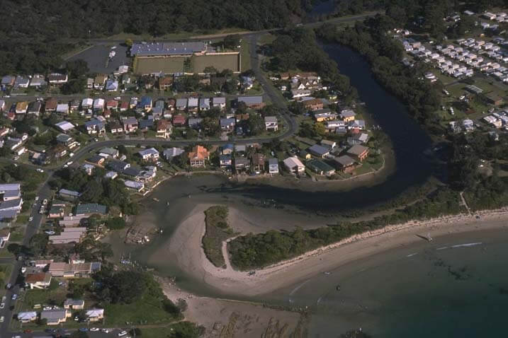
Moruya River | Estuaries
Our water quality monitoring program has shown the Moruya River estuary to have good water quality. Find out more about the estuary and its unique features.
Content page
07 Aug 2024
Murrah River | Estuaries
Our water quality monitoring program has shown the Murrah River estuary to have good water quality. Find out more about the estuary and its unique features.
Content page
19 Sep 2024
Myall Broadwater | Estuaries
We collaborate with local government to monitor the condition of Myall Broadwater. Find out more about the Myall Broadwater estuary and its unique features.

Content page
19 Sep 2024
Myall Lake | Estuaries
We collaborate with local government to monitor the condition of Myall Lake. Find out more about the Myall Lake estuary and its unique features.
Content page
06 Nov 2024
Biodiversity Offsets and Agreement Management System | Biodiversity Offsets Scheme
Content page
27 Nov 2023
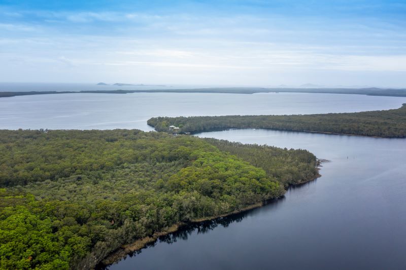
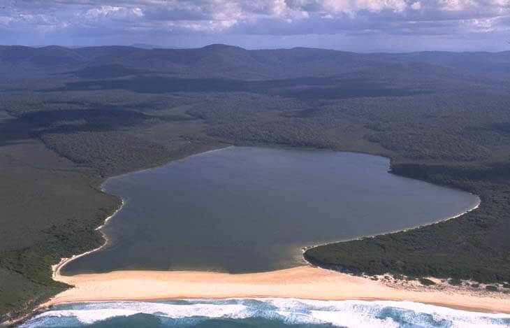
Nadgee Lake | Estuaries
Our water quality monitoring program has shown Nadgee Lake to have excellent water quality. Find out more about the estuary and its unique features.
Content page
27 Nov 2023
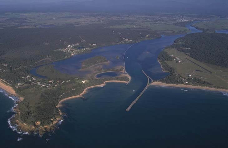
Port Stephens | Estuaries
Our water quality monitoring program has shown Port Stephens to have excellent water quality. Find out more about the estuary and its unique features.

Content page
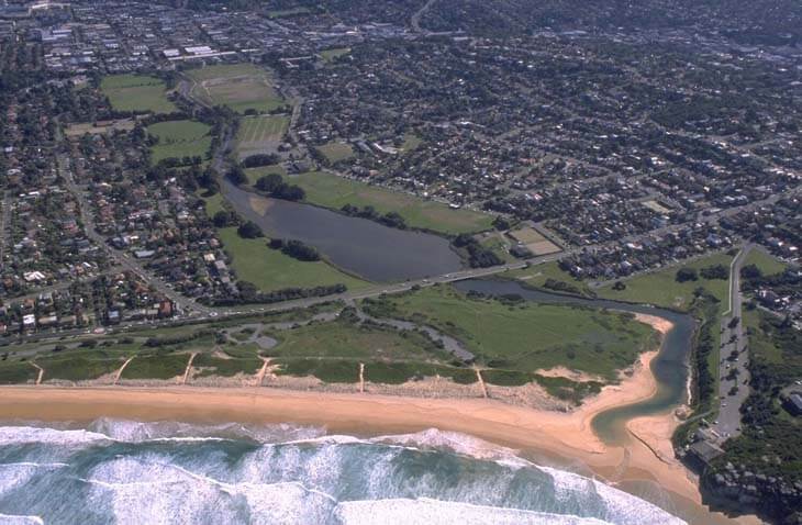
15 Dec 2021
Curalo Lagoon | Estuaries
Our water quality monitoring program has shown Curalo Lagoon to have good water quality. Find out more about the estuary and its unique features.
Content page
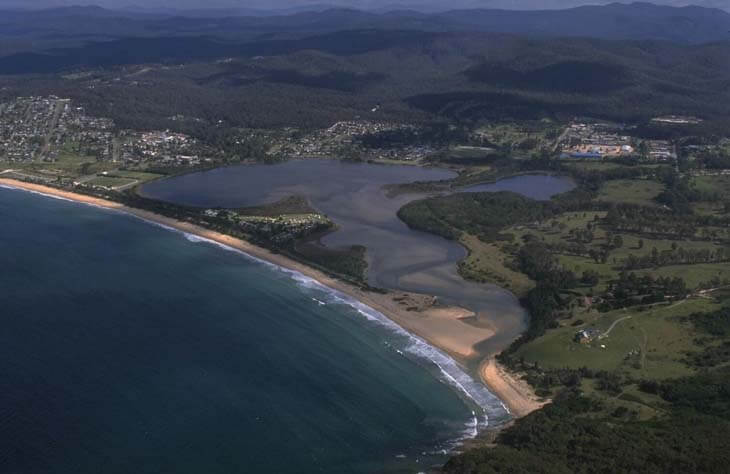
02 May 2023
Curl Curl Lagoon | Estuaries
Our water quality monitoring program has shown Curl Curl Lagoon to have fair water quality. Find out more about the estuary and its unique features.
Content page
15 Dec 2021
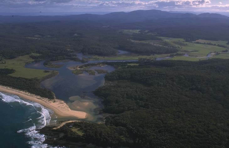
Currarong Creek | Estuaries
Our water quality monitoring program has shown Currarong Creek to have excellent water quality. Find out more about the estuary and its unique features.