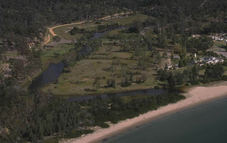
Boydtown Creek is located on the far south coast of New South Wales. The estuary is classed as a creek with an entrance that is intermittently open and closed to the ocean.
Water quality
As part of our water quality monitoring program we assess the water quality and ecosystem health of an estuary using a range of relevant indicators. The most recent sampling in Boydtown Creek was completed over the 2023–24 summer, when 2 sites were sampled on a monthly basis.
This report card represents 2 water quality indicators that we routinely measure: the amount of algae present and water clarity. Low levels of these 2 indicators equate with good water quality. The numerical scores for these 2 indicators are averaged to give the overall grade.
The report card shows the condition of the estuary was poor with:
- algae abundance graded poor (D)
- water clarity graded poor (D)
- overall estuary health graded poor (D).
Grades for algae, water clarity and overall are represented as:
- A – excellent
- B – good
- C – fair
- D – poor
- E – very poor.
Go to estuary report cards to find out what each grade means, read our sampling, data analysis and reporting protocols, and find out how we calculate these grades.
Physical characteristics
| Estuary type | Creek |
|---|---|
| Latitude | –37.1 (ºS) |
| Longitude | 149.88 (ºE) |
| Catchment area | 3.9 km2 |
| Estuary area | 0.02 km2 |
| Estuary volume | 3.1 ML |
| Average depth | 0.2 m |
Notes: km2 = square kilometres; m = metres; ML = megalitres.
Water depth and survey data
Bathymetric and coastal topography data for this estuary are available in our data portal.
Land use
The catchment of Boydtown Creek is moderately disturbed. A quarter of the land use has changed to grazing and a small amount of development associated with Boydtown. Around three-quarters of the catchment remains forested.
National and marine parks
- No conservation areas are located within this catchment.
- This estuary does not flow into a marine park.
Community involvement
- The Far South Coast Landcare Association is a volunteer environmental and conservation organisation that works to improve management of local land and water.
Local government management
Local councils manage estuaries within their area. Where an estuary is attached to a marine park, marine park management teams are responsible for ensuring compliance with marine park zoning.
Bega Valley Shire Council manages this estuary.
Threatened species
Estuaries provide important breeding, nursery and feeding grounds for many animals, such as fish and birds.
Read more about the biodiversity in our estuaries.