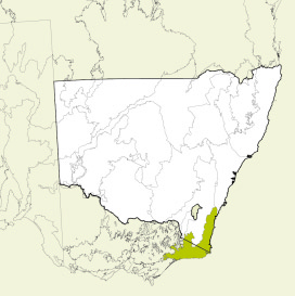
About the bioregion
The NSW portion is in 2 parts:
- Most of the bioregion is bordered by Sydney Basin bioregion to the north and the South Eastern Highlands bioregion to the west.
- A small fragment lies between the Australian Alps and South Eastern Highlands bioregions.
The bioregion includes the towns of Batemans Bay, Moruya, Narooma, Bermagui, Bega, Merimbula and Eden. Most of the bioregion's population live in the towns along the coast.
The Clyde, Deua, Moruya, Buckenbowra, Brogo, Wadbilliga, Towamba, Genoa and Tuross rivers traverse the bioregion with the main catchments being the Clyde, Deua, Tuross, Bega, Towamba and Genoa catchments.
The climate is mostly temperate, with warm summers and no dry season. A small patch at higher elevation in the south-west has a montane climate.
The diverse topography, rainfall and temperature is reflected in the diversity of vegetation. There are over 40 threatened plant species and nearly 90 threatened animal species in this bioregion, particularly the long-footed potoroo (Potorous longipes).
Almost half of this bioregion is managed in conservation tenures.
Read Chapter 18, the South East Corner Bioregion, in Bioregions of New South Wales: Their biodiversity, conservation and history for more information.
Bioregion area
- 2,532,053 hectares in total
- 1,206,479 hectares in New South Wales
Parks, reserves and conservation areas
This bioregion includes:
- Beowa National Park
- Biamanga National Park
- Bournda National Park
- Budawang National Park
- Clyde River National Park
- Cullendulla Creek Nature Reserve
- Deua National Park
- Eurobodalla National Park
- Gulaga National Park
- Kosciuszko National Park
- Mimosa Rocks National Park
- Morton National Park
- Mount Imlay National Park
- Nadgee Nature Reserve
- South East Forests National Park
- Wadbilliga National Park.
-

Bittangabee Bay, Beowa National Park -

Biamanga National Park -
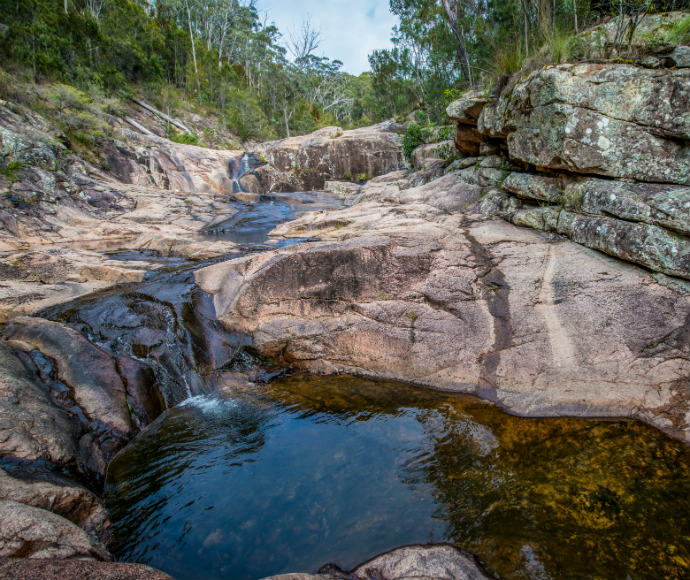
Biamanga National Park -

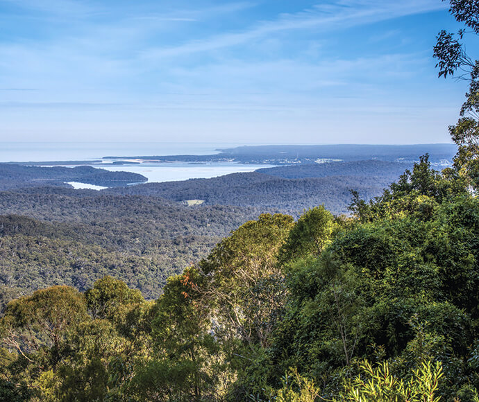
View to the coast from the Granite Tors in Gulaga National Park -
Mallacoota Lookout, South East Corner Bioregion, a World Biosphere Reserve, Nadgee Nature Reserve -
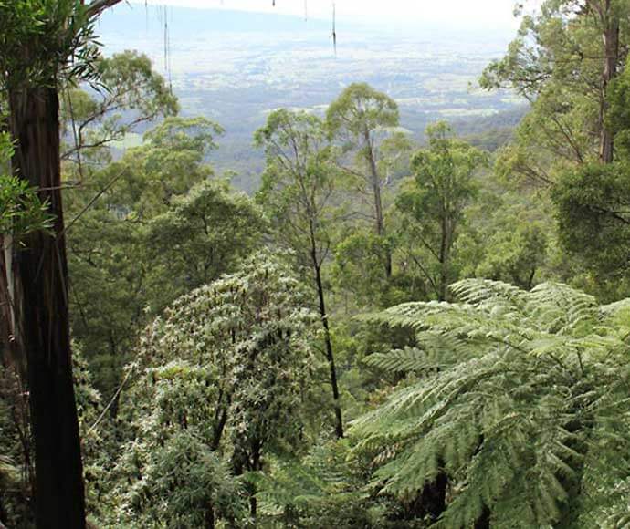
Pipers lookout, South East Forests National Park -
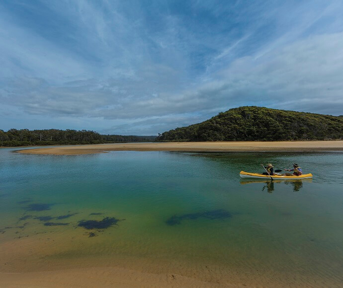
Nelson Lagoon, Mimosa Rocks National Park