Search
Content page
13 Feb 2024
How to use a statement of reasonable equivalence | Biodiversity Offsets Scheme
Content page
18 Jan 2024
National Association of Testing Authorities accreditation details | Air
Jurisdictions undertaking air quality monitoring for compliance reporting purposes are required to be NATA accredited.
Content page
20 Sep 2024
Middle Lagoon | Estuaries
Our water quality monitoring program has shown Middle Lagoon to have good water quality. Find out more about the estuary and its unique features.
Content page
07 Aug 2024
Millards Creek | Estuaries
Our water quality monitoring program has shown Millards Creek to have fair water quality. Find out more about the estuary and its unique features.

Content page
19 Sep 2024
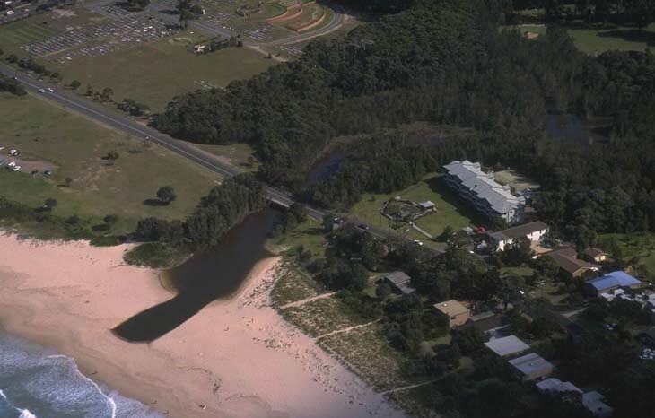
Mollymook Creek | Estuaries
Our water quality monitoring program has shown Mollymook Creek to have fair water quality. Find out more about the estuary and its unique features.
Content page
20 Sep 2023
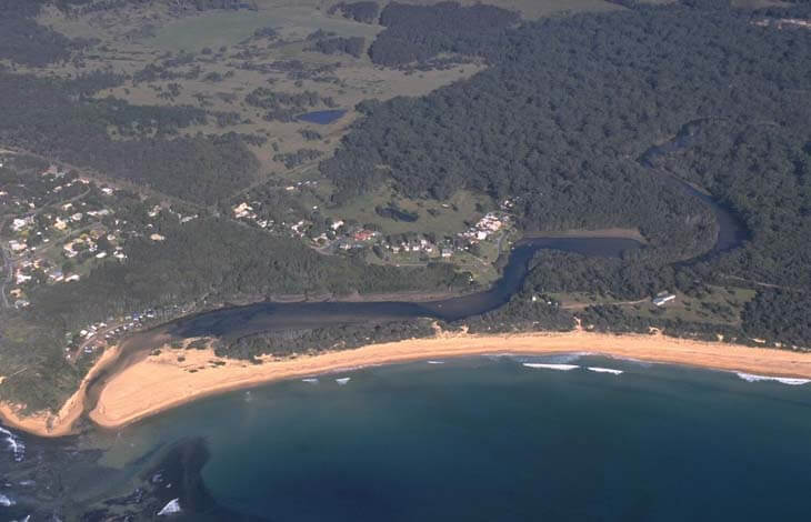
Congo Creek | Estuaries
Our water quality monitoring program has shown Congo Creek to have fair water quality. Find out more about the estuary and its unique features.
Content page
07 Aug 2024
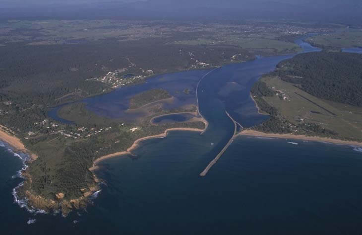
Moruya River | Estuaries
Our water quality monitoring program has shown the Moruya River estuary to have good water quality. Find out more about the estuary and its unique features.
Content page
07 Aug 2024
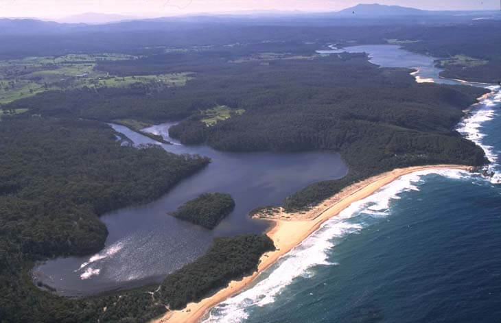
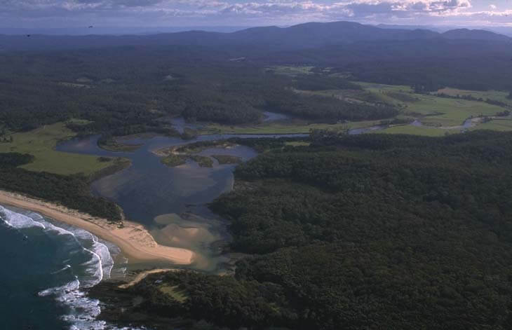
Murrah River | Estuaries
Our water quality monitoring program has shown the Murrah River estuary to have good water quality. Find out more about the estuary and its unique features.
Content page
19 Sep 2024
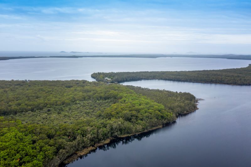
Myall Broadwater | Estuaries
We collaborate with local government to monitor the condition of Myall Broadwater. Find out more about the Myall Broadwater estuary and its unique features.

Content page
19 Sep 2024
Myall Lake | Estuaries
We collaborate with local government to monitor the condition of Myall Lake. Find out more about the Myall Lake estuary and its unique features.