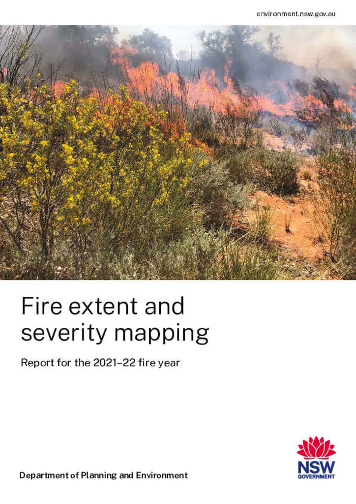
Fire extent and severity mapping: Report for 2021–22
This report summarises the FESM analyses for the 2021–22 fire year, 2 years after the black summer of 2019–20. This is the third report in the series.
Publisher: Department of Planning and Environment
Cost: Free
Language: English
ISBN: 978-1-922899-84-2
/
ID: EHG20220509
File: PDF 2.2 MB / Pages 0
Name: fire-extent-and-severity-mapping-report-for-2021-22-fire-year-220509.pdf
This summary report is accompanied by a data spreadsheet for the 2021–22 fire year (XLSX 290KB). The fire extent and severity maps (FESM) spatial data are made available on the Sharing and Enabling Environmental Data (SEED) portal at the end of each fire year.
More information about the FESM system can be found on our Fire extent and severity maps webpage.
