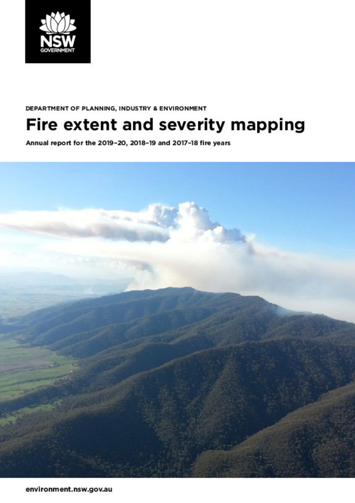
Fire extent and severity mapping: Annual report for 2019–20, 2018–19 and 2017–18
This is the first fire extent and severity mapping annual report produced for New South Wales. It outlines analyses for the 2019–20 fire season and retrospectively compares the 2017–18 and 2018–19 fire seasons.
Publisher: Department of Planning and Environment
Cost: Free
Language: English
ISBN: 978-1-922558-67-1
/
ID: EES20210180
File: PDF 1.99 MB / Pages 0
Name: fire-extent-and-severity-mapping-annual-report-2017-18-2019-20-210180_0.pdf
Information about the severity of a fire on a landscape is critical to understanding the relationship between fuels, fire behaviour and landscapes.
In collaboration with the NSW Rural Fire Service, we've developed a semi-automated approach to mapping fire in New South Wales: fire extent and severity mapping. This approach uses satellite imagery and machine learning to deliver near real-time maps of fire severity.
For more information visit our Fire extent and severity maps webpage.