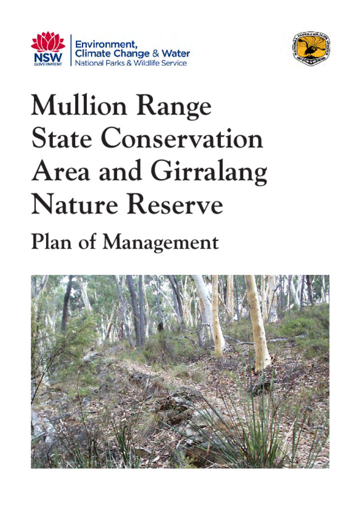
Mullion Range State Conservation Area and Girralang Nature Reserve Plan of Management
Mullion Range State Conservation Area and Girralang Nature Reserve are located within the Central West Region of NSW, to the north-east of Orange. They cover a combined area of around 1,665 hectares.
Publisher: Department of Environment, Climate Change and Water
Cost: Free
Language: English
ISBN: 978-1-74232-580-4
/
ID: DECCW20100183
File: PDF 1.41 MB / Pages 31
Name: mullion-range-girralang-plan-of-management-100183.pdf
Mullion Range State Conservation Area and Girralang Nature Reserve protect a range of remnant vegetation communities, including significant stands of riparian vegetation. They also contain many plant and animal species at the limit of their range.
Some of the first gold mining in NSW took place in and around the reserves, and evidence of this past use remains in places in the reserves, as do sites of Aboriginal heritage value.
The New South Wales National Parks and Wildlife Act 1974 requires that a plan of management be prepared for each nature reserve. A plan of management is a legal document that outlines how an area will be managed in the years ahead.