Murrurundi Pass National Park Community Conservation Area Zone 1 Plan of Management
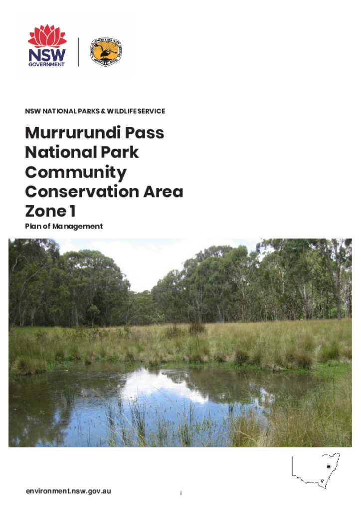
Murrurundi Pass National Park Community Conservation Area Zone 1, commonly known as Murrurundi Pass National Park, is located on the south-east side of the Liverpool Range. It is immediately east of Nowlands Gap (also known as Murrurundi Pass), two kilometres north-west of Murrurundi in the Upper Hunter district of New South Wales.
Publisher: Department of Planning, Industry and Environment
Cost: Free
Language: English
ISBN: 978-1-922317-04-9
/
ID: EES20190489
File: PDF 741.8 KB / Pages 37
Name: murrurundi-pass-national-park-plan-of-management-190489.pdf
The park is located in the north-west corner of the Hunter subregion of the Sydney Basin Bioregion, where it joins the Brigalow Belt South and Nandewar bioregions.
It is part of a chain of reserves that lie along the Liverpool Range of the Great Dividing Range, from Coolah Tops National Park in the west, to Ben Halls Gap National Park in the east.
The park is located within the administrative areas of the Wanaruah Local Aboriginal Land Council, Hunter Local Land Services and Upper Hunter Shire Council.