A NSW Government website

Search

Showing results 961 - 970 of 6969 results
Content page
15 Dec 2021

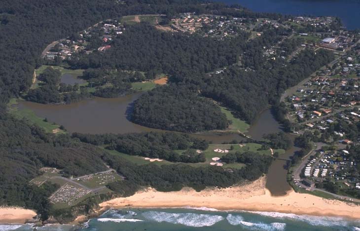
Little Lake (Narooma) | Estuaries

Our water quality monitoring program has shown Little Lake (Narooma) to have good water quality. Find out more about the estuary and its unique features.

Aerial view of Little Lake in Narooma, showing a tranquil water body nestled between lush greenery with a sandy beachfront leading into the ocean. Residential areas are visible surrounding the lake, illustrating a serene coastal landscape.
Content page
19 Sep 2024

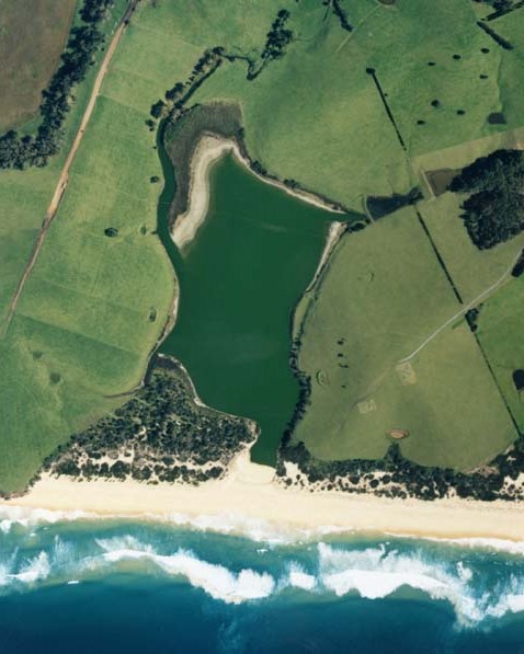
Little Lake (Wallaga) | Estuaries

Our water quality monitoring program has shown Little Lake (Wallaga) to have poor water quality. Find out more about the estuary and its unique features.

Aerial view of Little Lake, Wallaga, showing a vibrant green lake adjacent to a sandy beach with waves crashing onto the shore. The lake is surrounded by lush fields with varying shades of green and patches of trees. The contrast between the calm lake waters, the dynamic ocean waves, and the structured agricultural land provides a diverse and captivating landscape.
Content page
28 Nov 2023

South West Rocks Creek | Estuaries

Our water quality monitoring program has shown South West Rocks Creek to have good water quality. Find out more about the estuary and its unique features.

Aerial view of South West Rocks Creek, showing the convergence of a winding creek with the ocean. A bridge spans the narrow point of the creek, surrounded by dense greenery on one side and a sandy beach on the other. Residential areas with several buildings are visible near the coastline, contrasting natural and developed land.
Content page
13 Aug 2024

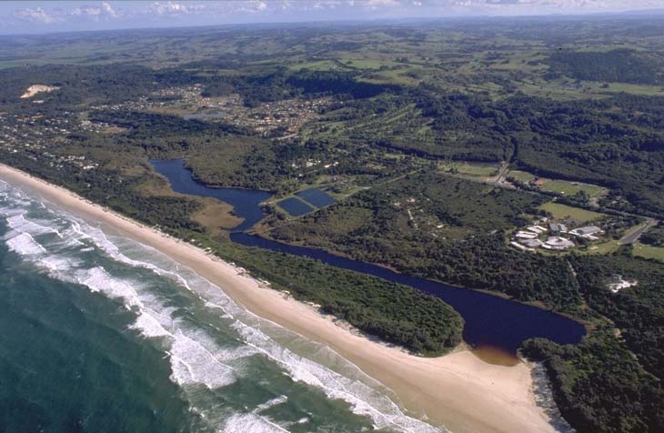
Spring Creek | Estuaries

Our water quality monitoring program has shown Spring Creek to have fair water quality. Find out more about the estuary and its unique features.

NSW Government
Content page
19 Sep 2024

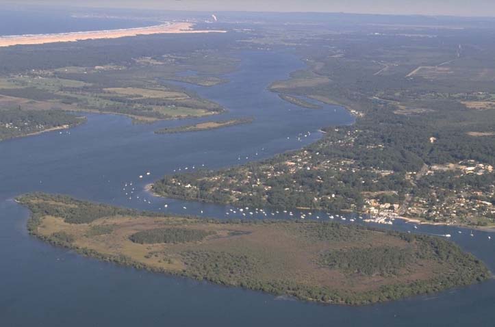
St Georges Basin | Estuaries

Our water quality monitoring program has shown St Georges Basin to have excellent water quality. Find out more about the estuary and its unique features.

Aerial view of St Georges Basin showing a coastal water body with a narrow inlet leading to the open sea. The basin is surrounded by dense greenery and forested areas, with sandy shores visible at the bottom of the image where the basin meets the sea. Waves can be seen breaking on the shoreline, indicating an active coastal environment. The topography suggests a natural and possibly protected area, with no immediate signs of urban development in this section of the landscape.
Content page
14 Dec 2021

Table Creek | Estuaries

Our water quality monitoring program has shown Table Creek to have excellent water quality. Find out more about the estuary and its unique features.

Aerial view of Table Creek flowing through a dense forest and meeting the ocean. The creek’s lighter-colored water contrasts with the dark blue ocean at the beach. The surrounding terrain is covered with lush greenery, showcasing the interaction between freshwater and saltwater ecosystems and the beauty of natural landforms.
Content page
28 Nov 2023

Tallow Creek | Estuaries

Our water quality monitoring program has shown Tallow Creek to have poor water quality. Find out more about the estuary and its unique features.

Aerial view of Tallow Creek near a sandy beach with waves from the ocean on one side, surrounded by green vegetation and nearby buildings indicating human habitation.
Content page
14 Dec 2021

Telegraph Creek | Estuaries

We have not sampled Telegraph Creek as part of our water quality monitoring program. Find out more about the estuary and its unique features.

aerial view of telegraph creek winding through bushland before forming an estuary on the sandbank at the beach
Content page
19 Sep 2024

Tilba Tilba Lake | Estuaries

Our water quality monitoring program has shown Tilba Tilba Lake to have fair water quality. Find out more about the estuary and its unique features.

Aerial view of Tilba Tilba Lake estuary showing a tranquil body of water with branching inlets surrounded by lush greenery. A narrow strip of sandy beach separates the lake from the open sea, with waves crashing onto the shore. The horizon reveals a clear sky above and hints at a vast ocean extending beyond.
Content page
21 Sep 2023

Tilligerry Creek | Estuaries

Our water quality monitoring program has shown Tilligerry Creek to have poor water quality. Find out more about the estuary and its unique features.

An aerial view of Tilligerry Creek estuary, showcasing a wide expanse of water with a branching creek system. A large, densely green landmass is prominent in the center, surrounded by blue waters. Several boats are visible on the water, indicating recreational or fishing activities. The surrounding area includes patches of land with buildings, suggesting residential areas. In the distance, there’s a coastline with a beach and open sea beyond it.