A NSW Government website

Search

Showing results 971 - 980 of 6966 results
Content page
21 Sep 2023

Tilligerry Creek | Estuaries

Our water quality monitoring program has shown Tilligerry Creek to have poor water quality. Find out more about the estuary and its unique features.
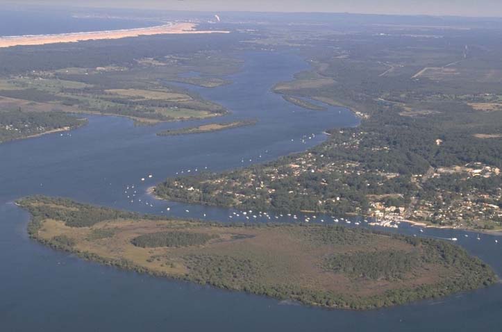
An aerial view of Tilligerry Creek estuary, showcasing a wide expanse of water with a branching creek system. A large, densely green landmass is prominent in the center, surrounded by blue waters. Several boats are visible on the water, indicating recreational or fishing activities. The surrounding area includes patches of land with buildings, suggesting residential areas. In the distance, there’s a coastline with a beach and open sea beyond it.
Screens being viewed shows pie charts and other graphs
Content page
19 Sep 2024

Towamba River | Estuaries

Our water quality monitoring program has shown the Towamba River estuary to have excellent water quality. Find out more about the estuary and its unique features.
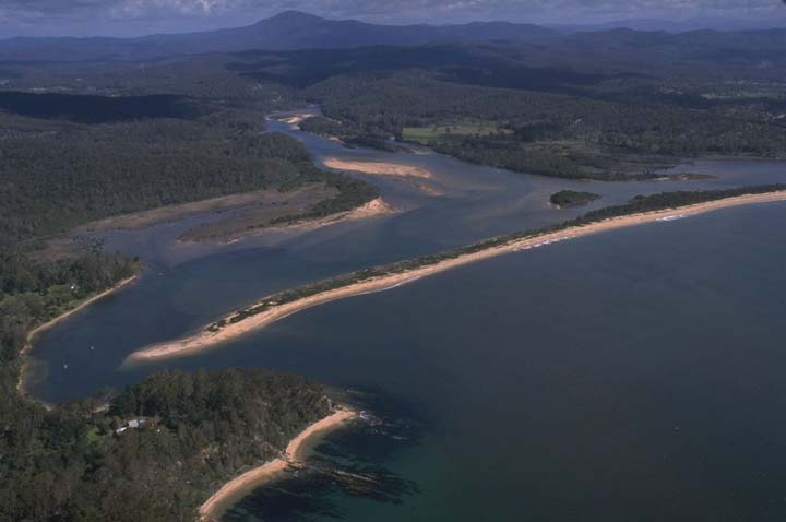
Aerial view of the Towamba River winding through dense greenery and forested areas, flowing into a larger body of water. The riverbanks are sandy, and small structures or buildings are visible near the shoreline. Rolling hills or low mountains are seen in the distance under a partly cloudy sky.
Content page
20 Sep 2024

Towradgi Creek | Estuaries

Our water quality monitoring program has shown Towradgi Creek to have poor water quality. Find out more about the estuary and its unique features.
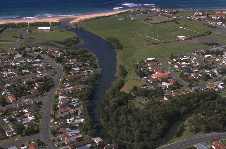
Aerial view of Towradgi Creek meandering through a landscape with residential areas on one side and a beachfront on the other. The creek flows into the ocean, with green spaces including parks or fields adjacent to the residential area.
Content page
27 Nov 2023

Tuross River | Estuaries

Our water quality monitoring program has shown the Tuross River estuary to have good water quality. Find out more about the estuary and its unique features.
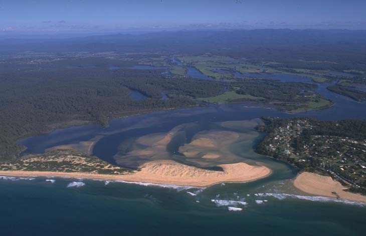
Aerial view of the Turros River winding its way to the ocean. The river’s brownish water meets the blue sea, with sandy beaches forming interesting patterns at the mouth. Surrounding the river are patches of greenery and some developed areas with buildings and roads near the coastline.
Content page
27 Mar 2024

Twofold Bay | Estuaries

Twofold Bay is in the south coast region of New South Wales. It is a large oceanic bay with an open entrance.
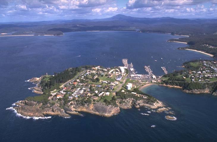
Aerial view of Twofold Bay showcasing a coastal town with a mix of residential and commercial buildings, streets, and a marina. The town is surrounded by dense greenery and forested areas. The bay itself is a large body of water with a few boats visible, and the coastline features sandy beaches and rocky outcrops. In the distance, there are rolling hills and mountains under a partly cloudy sky, adding depth to the landscape.
Content page
19 Sep 2024

Wallaga Lake | Estuaries

Our water quality monitoring program has shown Wallaga Lake to have good water quality. Find out more about the estuary and its unique features.
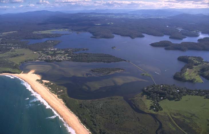
An aerial view of Wallaga Lake, featuring a large body of water with multiple inlets and surrounded by lush greenery. The lake has small islands and peninsulas, with a sandy beach on the left separating it from the ocean. The contrast between the dark blue ocean and the lighter blue-green lake water is striking, with forested areas and open grasslands in the surrounding landscape.
Content page
14 Dec 2021

Wallagoot Lake | Estuaries

Our water quality monitoring program has shown Wallagoot Lake to have excellent water quality. Find out more about the estuary and its unique features.
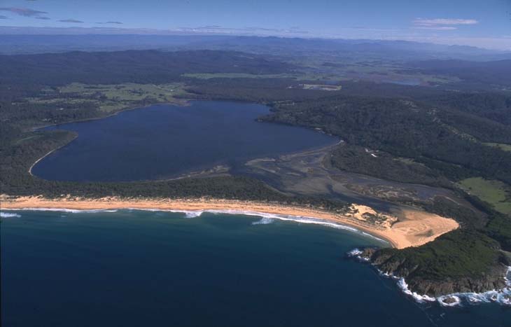
An aerial view of Wallagoot Lake, showcasing the expansive body of water bordered by a dense forest on one side and a curved sandy beach on the other. The lake is calm, while waves from the adjacent ocean crash onto the shore. The scene is set under a clear blue sky.
Content page
14 Dec 2021

Werri Lagoon | Estuaries

Our water quality monitoring program has shown Werri Lagoon to have poor water quality. Find out more about the estuary and its unique features.
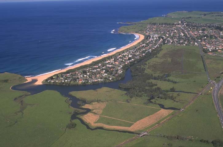
Aerial view showing river running through large green cleared pastures, with a town between the river and the beach.
Content page
14 Dec 2021

Willinga Lake | Estuaries

Our water quality monitoring program has shown Willinga Lake to have fair water quality. Find out more about the estuary and its unique features.
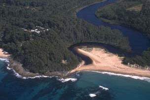
Aerial view of Willinga Lake near the coastline, showing a winding body of water with a narrow point leading into the ocean. Waves crash onto the sandy shore, surrounded by dense greenery and some clearings with buildings amidst the trees, illustrating a blend of natural beauty and human habitation.