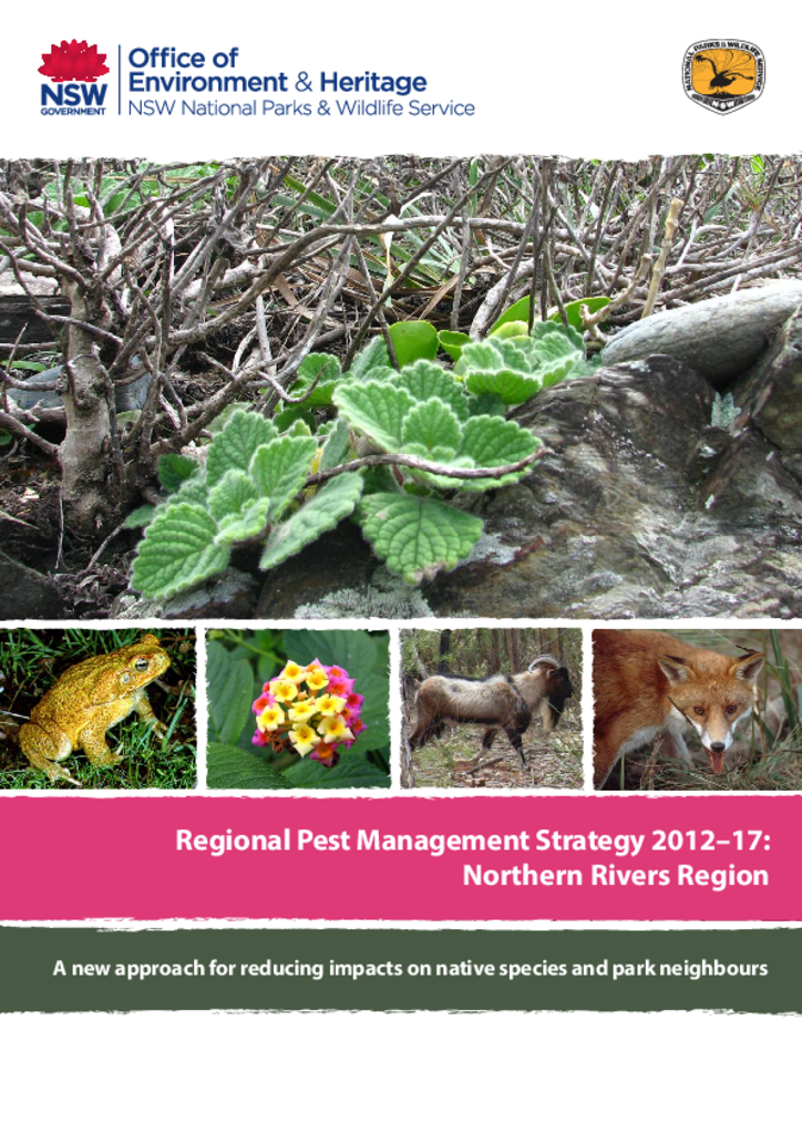
This document is the pest management strategy for the Northern Rivers Region, which is located on the far North Coast of NSW, and stretches from Grafton in the south, north to the Queensland border at Tweed Heads and west to near Killarney.
This plan of management encompasses the national parks and nature reserves commonly known as the Tweed Caldera, all of which form part of the ancient Mount Warning (or Wollumbin) shield volcano in far northern NSW. The 'planning area' encompasses Wollumbin (formerly Mount Warning), Border Ranges, Mebbin, Nightcap, Goonengerry and Mount Jerusalem National Parks and Limpinwood, Numinbah and Snows Gully Nature Reserves.
This indigenous land use agreement is between the Githabul people, the Githabul Nation Aboriginal Corporation and the NSW Government. The agreement extends across a number of national parks and state forest reserves, including world heritage-listed areas.
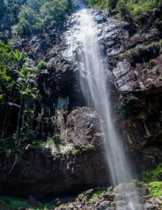
Indigenous land use agreementBorder Ranges National Park
The Tweed Caldera National Parks and Nature Reserves encompasses Wollumbin (formerly Mount Warning), Border Ranges, Mebbin, Nightcap, Goonengerry and Mount Jerusalem National Parks and Limpinwood, Numinbah and Snows Gully Nature Reserves. These amendments affect Nightcap National Park only and have been prepared cognisant of the need for complementary and integrated management of Nightcap National Park with the adjacent, more recently reserved, Whian Whian State Conservation Area.