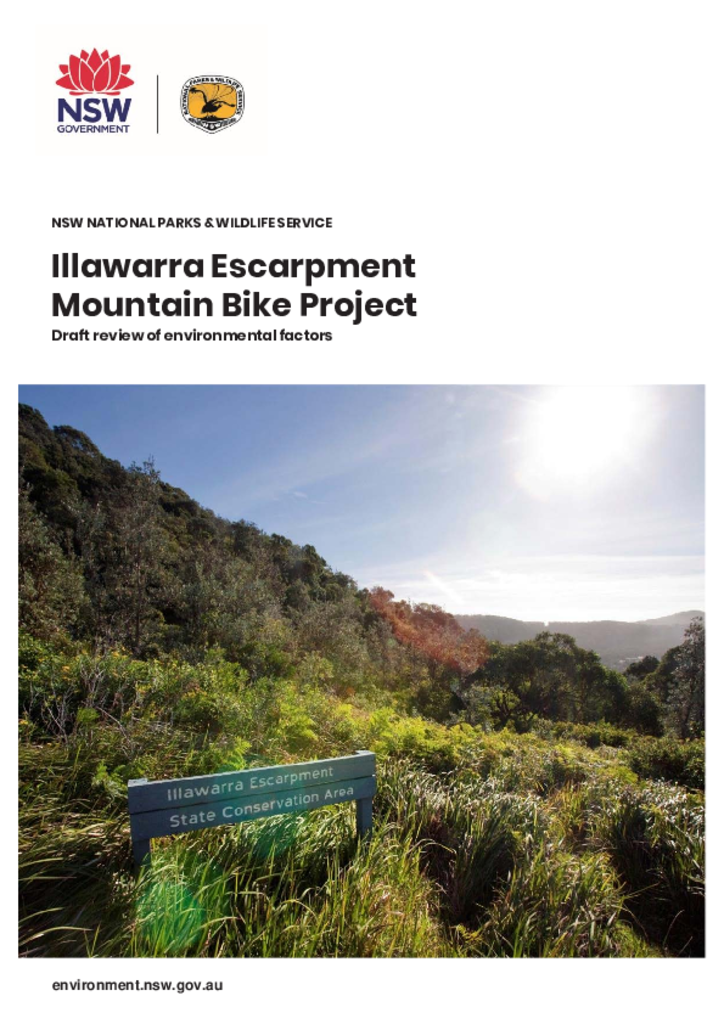
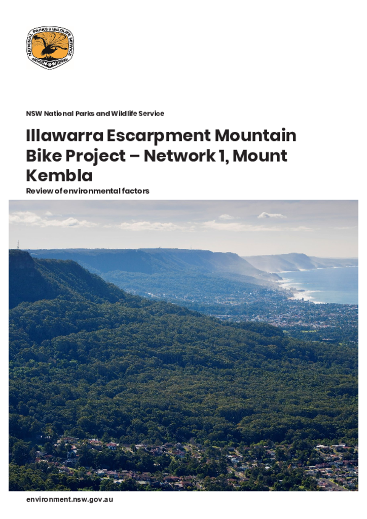
This document examines the significance of likely environmental impacts of a proposal, considers feedback received during consultation and details measures required to mitigate adverse impacts to the environment.
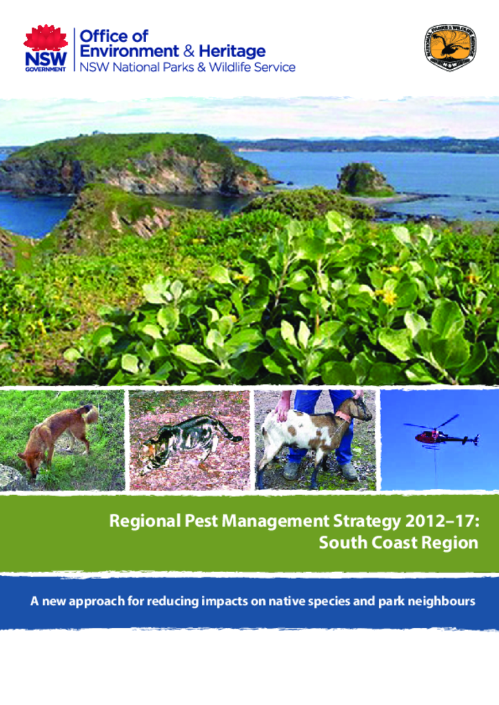
This document is the pest management strategy for the South Coast Region, which stretches from Stanwell Park in the north to Batemans Bay in the south, and west of Goulburn along the tablelands.
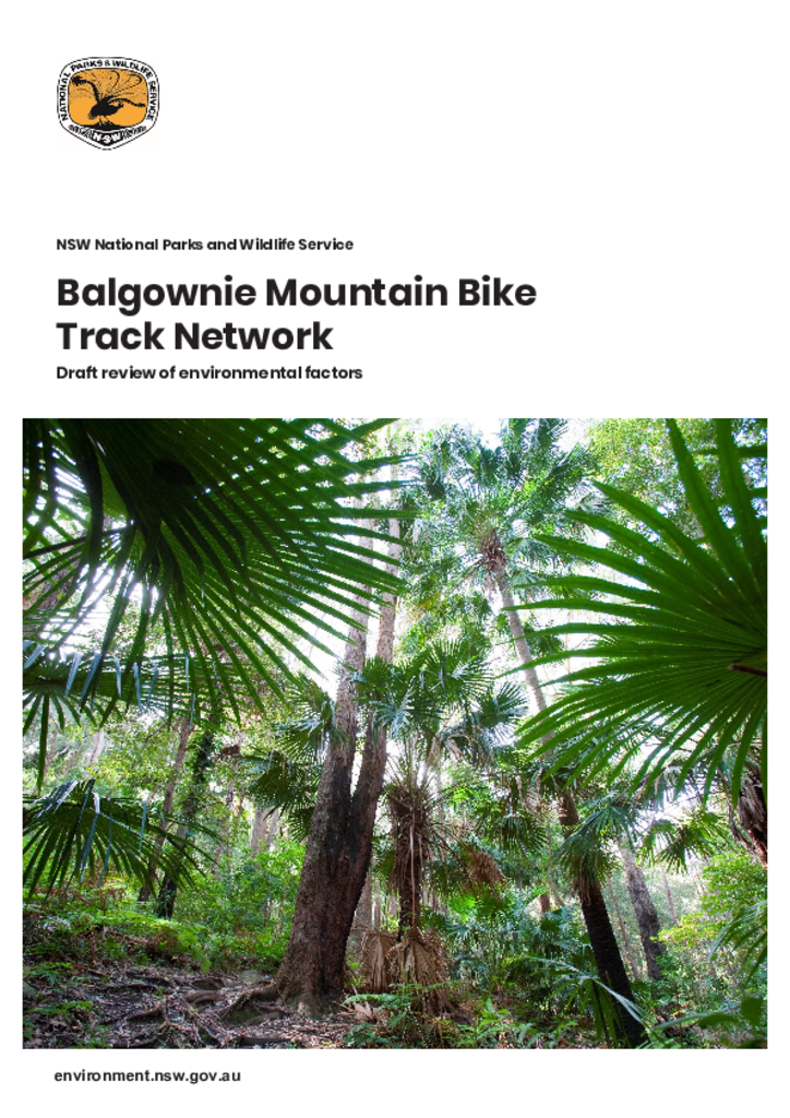
The proposed track network has been designed to minimise environmental impacts by careful choice of location and by incorporating existing unsanctioned tracks into the network where practicable, to minimise clearing from the creation of new tracks.
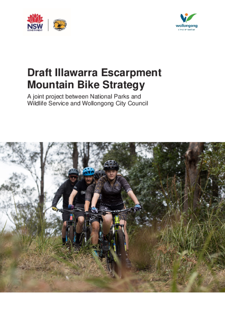
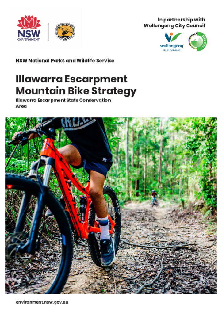
The strategy details the background and methodology for creating a formalised mountain biking network on the Illawarra Escarpment State Conservation Area.
StrategyIllawarra Escarpment State Conservation Area
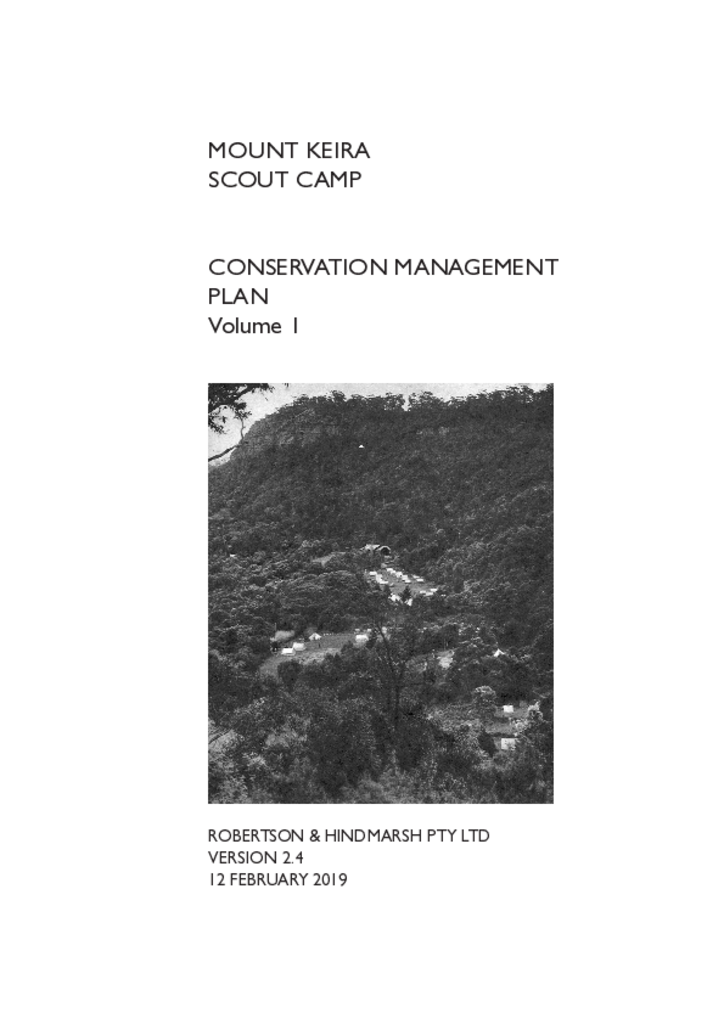
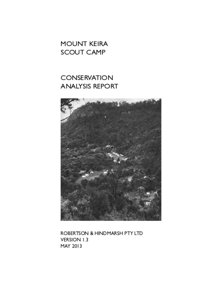
The scout camp site lies within the Mount Keira precinct of the Illawarra Escarpment State Conservation Area owned by the NSW Government and administered by the Department of Planning, Industry and Environment.
This conservation analysis report is the first stage in the process to identify and manage the unique built and natural heritage assets of the Mount Keira Scout Camp within the Illawarra Escarpment State Conservation Area.
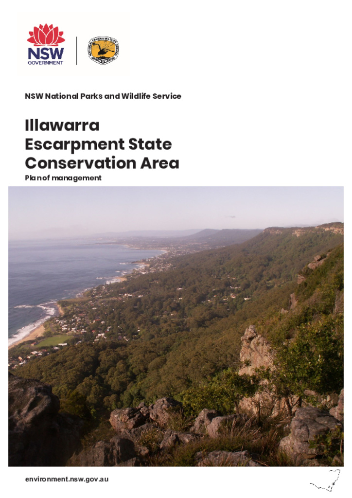
The Illawarra Escarpment State Conservation Area protects 2772 hectares of escarpment between Stanwell Park and Dapto. Located approximately 60 kilometres south of Sydney, the escarpment extends for 50 kilometres from Royal National Park in the north, to Budderoo National Park and Barren Grounds Nature Reserve in the south.
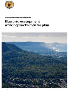
This master plan provides a blueprint for the development of a sustainable walking track network on the Illawarra escarpment. It aims to ensure opportunities for bushwalking on the escarpment that are safe and consistent with environmental, cultural and social values.