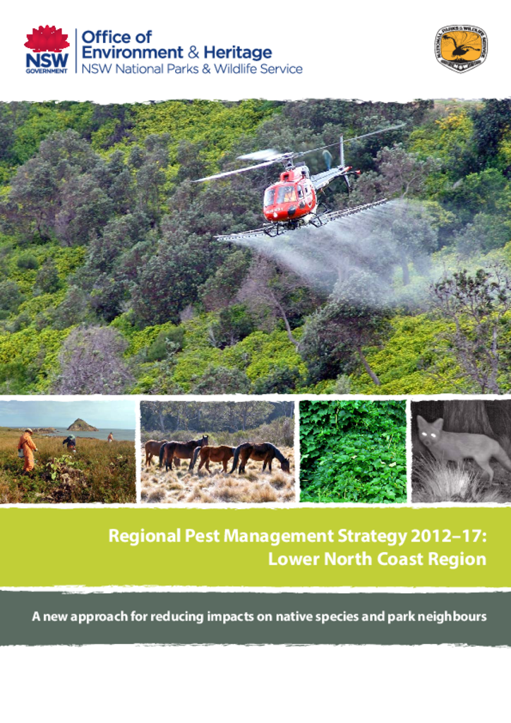
This document is the pest management strategy for the Lower North Coast region. The area includes the Hunter, Hastings and Manning valleys and extends from Stockton to Port Macquarie and inland to the Great Dividing Range.
The Myall Lakes National Park, Little Broughton Island and Stormpetrel Island Nature Reserves Plan of Management was adopted by the Minister for the Environment on 2 October 2002. Since this date, a number of additions have occurred to Myall Lakes National Park. This amendment addresses management issues and actions for the land additions around Seal Rocks and for three smaller property additions.
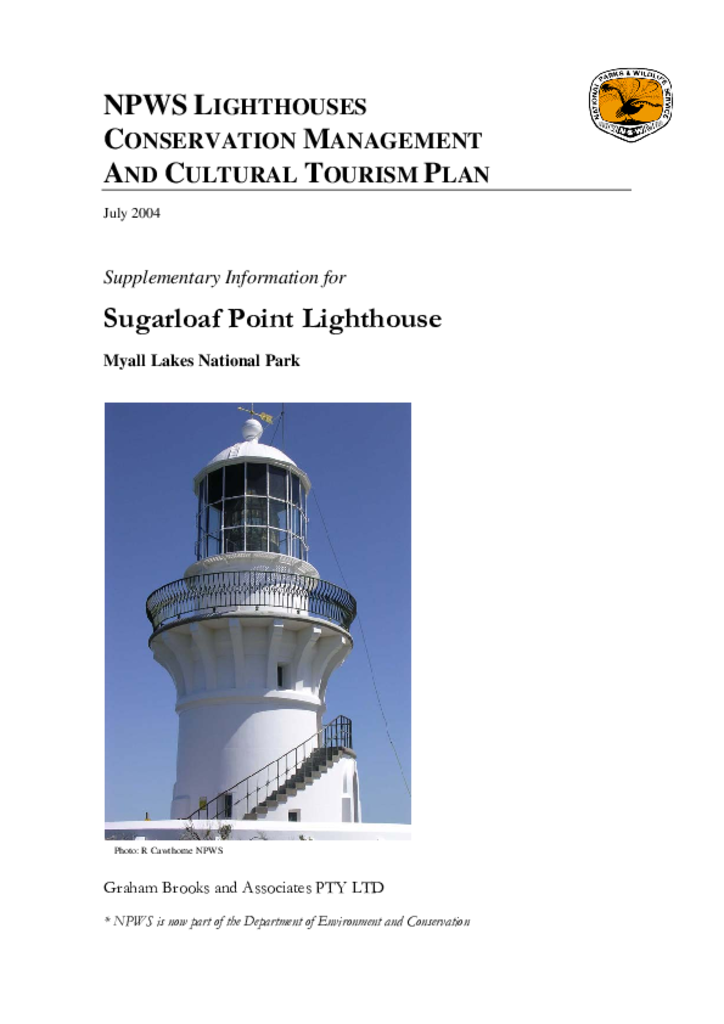
The Sugarloaf Point Lighthouse on Seal Rocks in Myall Lakes National Park was built in 1875. It is one of 10 historic lighthouses under the management of the NSW National Parks and Wildlife Service.
Broughton Island, which was gazetted as part of Myall Lakes National Park in 1972, is a 114 hectare island that lies approximately 3 kilometres offshore from Dark Point and 16 kilometres north-east of the entrance to Port Stephens.
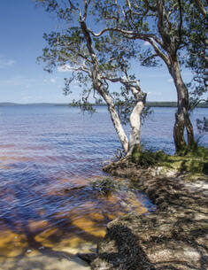
The planning area includes Myall Lakes National Park and the offshore Myall Coast Reserves. Myall Lakes National Park is over 44,000 hectares in size and is about 50 kilometres north of Newcastle and 30 kilometres south of Forster.
This fire management strategy incorporates Myall Lakes National Park, Corrie Island, John Gould, Little Broughton Island, Boondelbah, Stormpetrel and Seal Rocks nature reserves.