An agreement between the Australian and NSW governments at the time of its purchase requires the NSW Government to modify the infrastructure currently used for water management at Toorale for environmental purposes.
This document is the pest management strategy for the Far West Region, which covers parks and reserves spread over more than one-third of NSW. It borders Queensland, South Australia and Victoria and includes the towns of Walgett in the north, Bourke and Broken Hill in the west and Balranald in the south.
Toorale is located approximately 65 kilometres south-west of Bourke in north-western New South Wales and is managed by the Department of Climate Change, Energy, the Environment and Water and the National Parks and Wildlife Service.
This report represents the main outcomes and recommendations of the Toorale Conservation Management Plan. The study area for this report addresses the extent of the former station as acquired by the federal and NSW state governments in 2008.
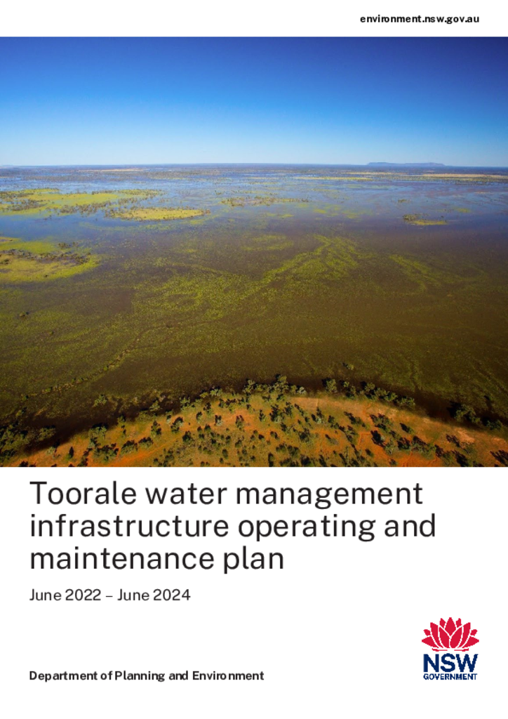
Toorale National Park and Toorale State Conservation Area are within the Country of the Kurnu-Baakandji People at the junction of the Darling and Warrego rivers in north west NSW. Together, these parks cover 85,251 hectares and provide protection for important cultural heritage sites and unique conservation values.