Tarawi Nature Reserve is located in south-western NSW, 100 kilometres north-west of Wentworth adjacent to the South Australian border. It was dedicated in 1996 and is 33,573 hectares in size.
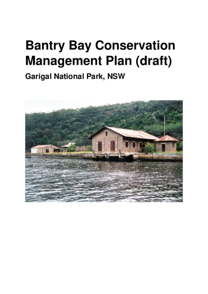
The Bantry Bay Explosives Magazine complex occupies an area of 14 hectares on the foreshores of Bantry Bay. Bantry Bay is located within Middle Harbour, and the foreshores of the bay form part of Garigal National Park.
The Yanga Conservation Management Plan (CMP) provides detail about the significant shared heritage values of the parks and is supplementary to the plan of management.
The Nattai Reserves System includes Nattai National Park and Bargo, Burragorang, Nattai and Yerranderie State Recreation Areas and comprises an area of about 86,000 hectares.
Mount Canobolas State Conservation Area is located about 15 kilometres south-west of Orange in the NSW Central West and occupies an area of 1672 hectares.
The Myall Lakes National Park, Little Broughton Island and Stormpetrel Island Nature Reserves Plan of Management was adopted by the Minister for the Environment on 2 October 2002. Since this date, a number of additions have occurred to Myall Lakes National Park. This amendment addresses management issues and actions for the land additions around Seal Rocks and for three smaller property additions.
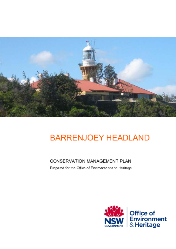
Barrenjoey Lighthouse became part of the NSW National Parks and Wildlife Service (NPWS) collection of historic lighthouses when it was added to Ku-ring-gai Chase National Park in May 2002. The lighthouse was established in 1881 and is an important component of the string of lighthouses built in the 19th century to light the NSW coastline.
Garigal National Park covers over 2,000 hectares of bushland in northern Sydney. It comprises the valley of Middle Harbour Creek and its tributaries, the slopes along the northern side of Middle Harbour as far as Bantry Bay and part of the catchment of Narrabeen Lakes.
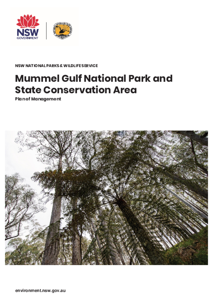
Mummel Gulf National Park and Mummel Gulf State Conservation Area are located approximately 40 kilometres south-east of Walcha and 85 kilometres west of Wauchope. Mummel Gulf National Park covers an area of 14,127 hectares, while Mummel Gulf State Conservation Area is 1162 hectares in size.