Scheyville National Park and Pitt Town Nature Reserve are located in the Hawkesbury region approximately 50 kilometres north-west of Sydney and 5 kilometres north-east of Windsor.
Copeland Tops State Conservation Area is in the hinterland of the NSW Mid North Coast. The reserve covers 2420 hectares of land, and lies within the traditional Country of the Worimi and Biripi People.
The Mutawintji Lands consist of Mutawintji National Park (68,912 hectares), the Mutawintji Historic Site (486 hectares) and the Mutawintji Nature Reserve (6,688 hectares), known as the “Mutawintji Lands”, or the “Lands” and is located 130 kilometres north-east of Broken Hill in far western New South Wales.
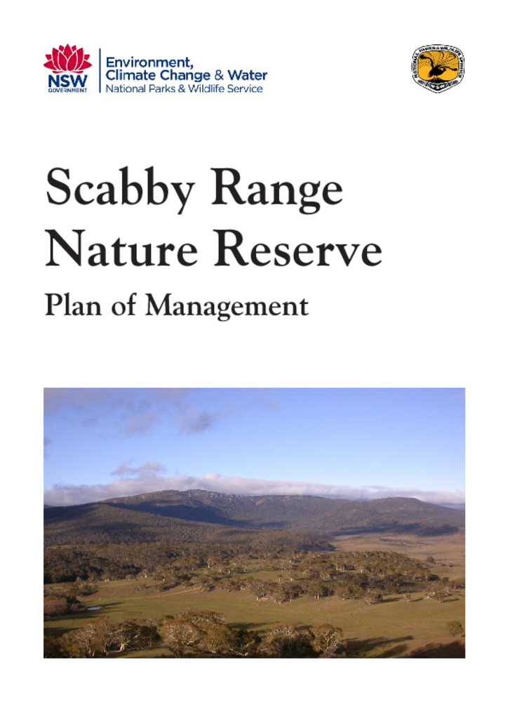
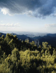
Scabby Range Nature Reserve is located approximately 60 kilometres south-west of Canberra. The reserve consists of 2 parcels of land totalling 4,982 hectares and contains a suite of vegetation types and the fauna species they support, from native grasslands in the south-west to moist subalpine forests and rocky outcrops on the reserve's highest peaks.
This plan of management applies to what is now Bungonia National Park and Bungonia State Conservation Area. The park is located on the southern tablelands of NSW 35 kilometres east of Goulburn. It covers an area 3971 hectares along the western side of the Shoalhaven Gorge adjacent to Morton National Park.
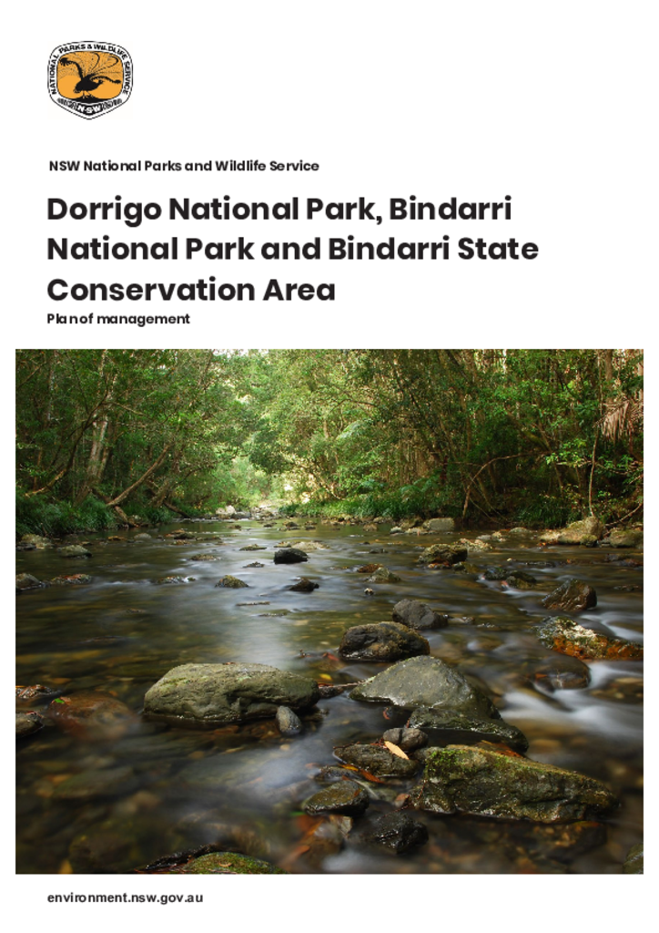
Dorrigo National Park, Bindarri National Park and Bindarri State Conservation Area are in the traditional Country of the Gumbaynggirr people. Located in the Coffs Harbour hinterland on the north coast of New South Wales, the parks have a combined area of over 17,500 hectares. This plan outlines how the natural and cultural values of these parks will be conserved.
Chaelundi National Park and Chaelundi State Conservation Area are located approximately 45 kilometres south west of Grafton and 10 kilometres west of Nymboida in northern NSW. Together the parks cover an area of approximately 20,796 hectares.
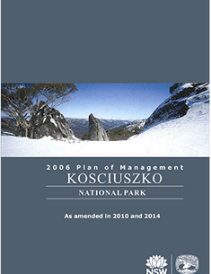
Kosciuszko National Park, which encompasses 673,542 hectares, is the largest national park in New South Wales and one of the most complex conservation reserves in Australia.