Dooragan National Park is located immediately south of Laurieton and approximately 25 kilometres south of Port Macquarie on the mid-north coast of New South Wales. The park is 1,042 hectares in size and encompasses North Brother Mountain, the northern most of the Three Brother Mountains.
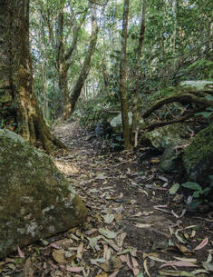
Stotts Island Nature Reserve covers an area of approximately 160 hectares and is located in the Tweed River in far north eastern New South Wales, 12 kilometres south east of Murwillumbah. The whole island was gazetted as a nature reserve in 1971.
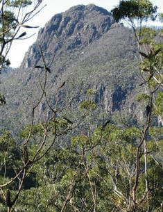
Coorabakh National Park is located approximately 22 kilometres north of Taree on the mid-north coast of NSW. The park, which covers an area of 1,840 hectares, is situated on the Lansdowne escarpment which is an important landscape feature of the Manning Valley.
Kamay Botany Bay National Park is a magnificent headland site that bounds the mouth of Botany Bay, Sydney. The Kurnell Precinct of Kamay Botany Bay National Park is located on the southern headland of Botany Bay.
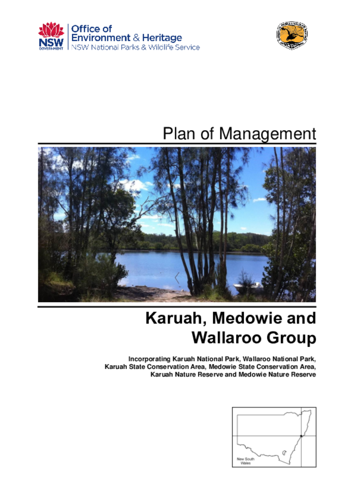
The Karuah, Medowie and Wallaroo Group of Parks are located on the lower north coast of New South Wales, near Raymond Terrace and Karuah. The group comprises Karuah National Park, Wallaroo National Park, Karuah State Conservation Area, Medowie State Conservation Area, Karuah Nature Reserve and Medowie Nature Reserve, and collectively cover an area of 10,301 hectares. The parks are part of the traditional country of the Worimi Aboriginal people.
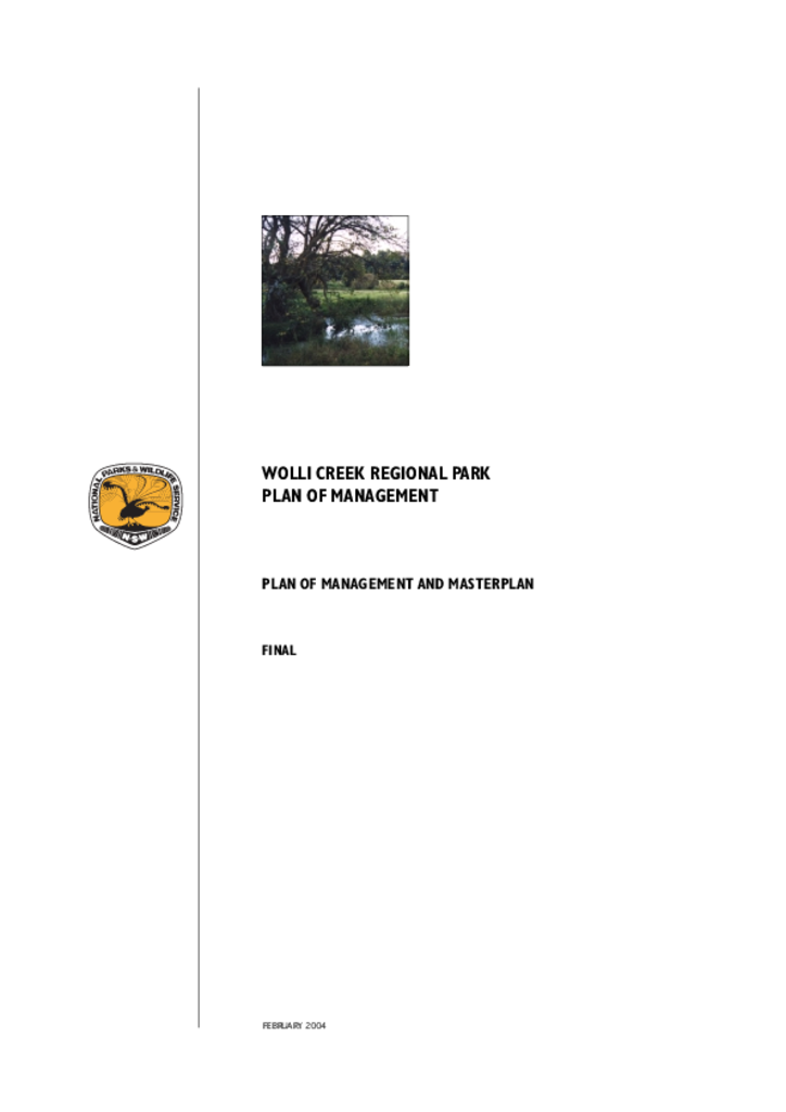
Wolli Creek Regional Park is a linear corridor of bushland and open space of approximately 60 hectares along Wolli Creek in the Canterbury local government area.
Stony Creek Nature Reserve is located in the southern tablelands of NSW, approximately 5 kilometres east of Queanbeyan. The reserve, comprising 80 hectares, was gazetted as part of the Southern Regional Forest Agreement in early 2001. It is located on the eastern fall of the Queanbeyan escarpment above Stony Creek, which feeds into the Molonglo River.
Morton State Conservation Area is located on the South Coast of New South Wales, 17 kilometres west of Nowra on the edge of the Ettrema Wilderness contained in Morton National Park. The Shoalhaven River forms part of the park's northern and eastern boundaries.
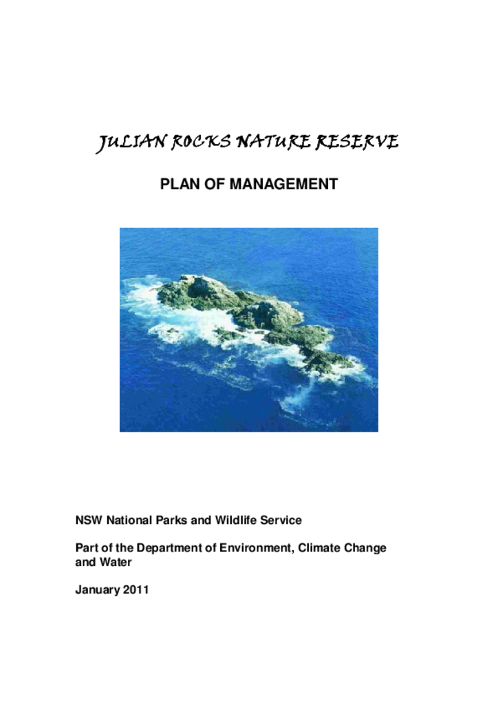
Julian Rocks Nature Reserve is located 2 kilometres north-east of the township of Byron Bay on the far north coast of New South Wales. The reserve is 0.4 hectares in size and consists of a number of jagged rocky outcrops. It is surrounded by Cape Byron Marine Park.
Broulee Island Nature Reserve is located on the South Coast of NSW adjacent to the seaside village of Broulee and covers the entire 43 hectares of Broulee Island to mean high water mark. A tombolo currently connects Broulee Island to the mainland at Broulee Head.