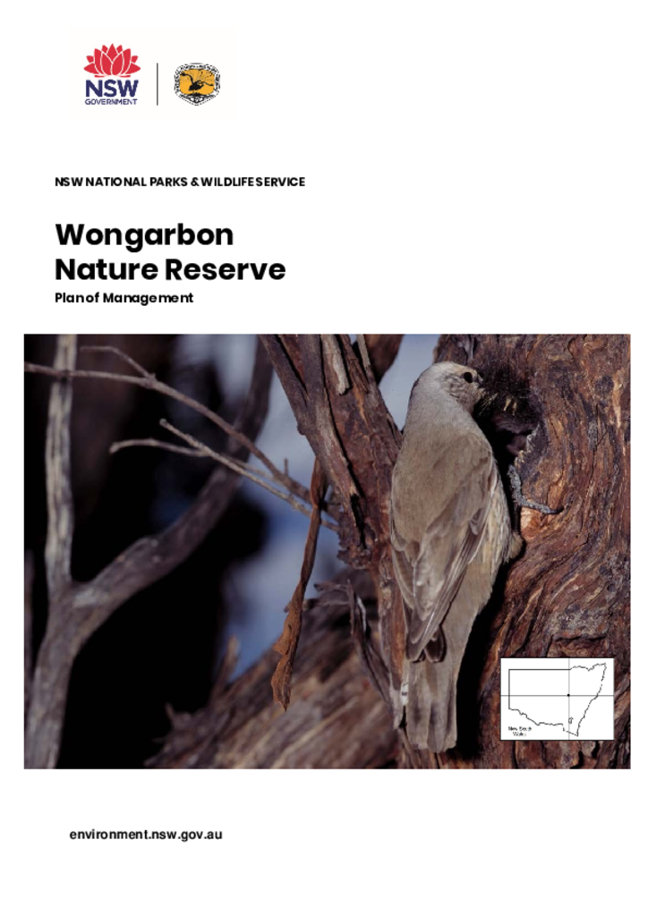
Wongarbon Nature Reserve is in Central West NSW, 15 kilometres south-east of Dubbo. It has an area of 99 hectares, and forms part of the headwaters of Sandy Creek.
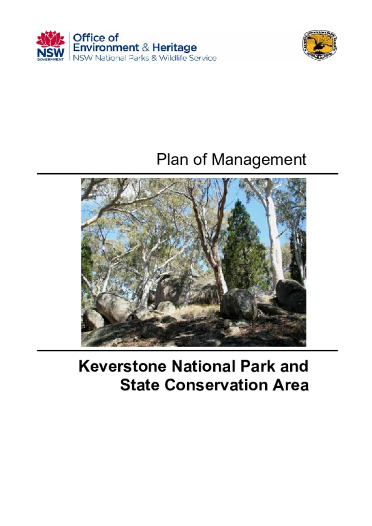
Keverstone National Park and State Conservation Area are situated approximately 40 kilometres north-west of Crookwell on the central tablelands of NSW. The first section of the park was reserved in 1979 and now covers 1,860 hectares, while the state conservation area covers 1,164 hectares.
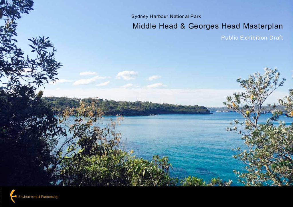
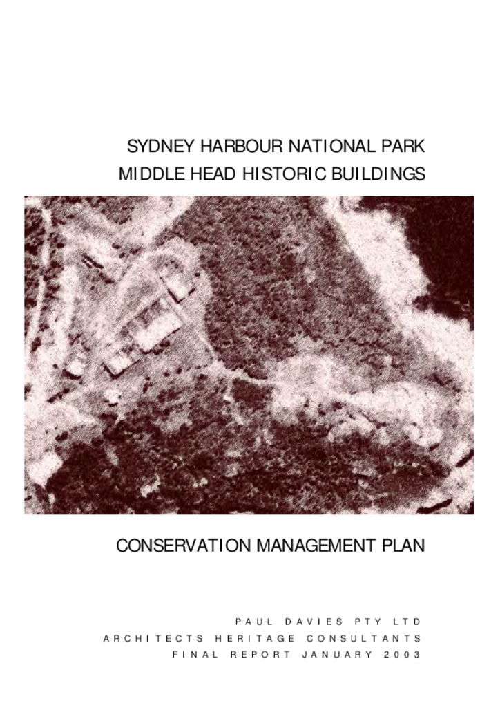
The Office of Environment and Heritage (OEH) has prepared a draft master plan for the Middle Head and Georges Head precincts of Sydney Harbour National Park.
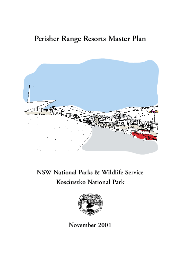
Perisher Range is located in Kosciuszko National Park (KNP) and is the largest alpine resort complex in Australia. Accommodation is provided in several villages including Perisher Valley, Smiggin Holes and Guthega.
The 10 Northern Monaro Reserves have a combined area of 10,814 hectares. They comprise 8 nature reserves and 2 state conservation areas located between Bredbo and Nimmitabel in southern NSW.
The site of these historic buildings covers a large area of the headland at Middle Head, in Sydney Harbour. The structures were built between 1870 and 1945 to support the defence of Sydney Harbour. Many of the buildings were demolished before the site was made part of Sydney Harbour National Park in 1980.
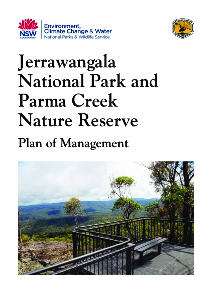
Jerrawangala National Park and Parma Creek Nature Reserve are adjacent conservation areas located south-west of Nowra. The national park is primarily plateau bordered by escarpment and has an area of 4,013 hectares. The nature reserve is fairly flat, cut by a small gorge along Parma Creek, and has an area of 3,486 hectares.
South East Forest National Park and Egan Peaks Nature Reserve are adjoining reserves that together cover 117,644 hectares of rugged escarpment country west of Bega and Eden in south-eastern NSW. The two areas are part of a system of conservation reserves along the great eastern escarpment and are linked to other reserves that protect the coastline and coastal hinterland.
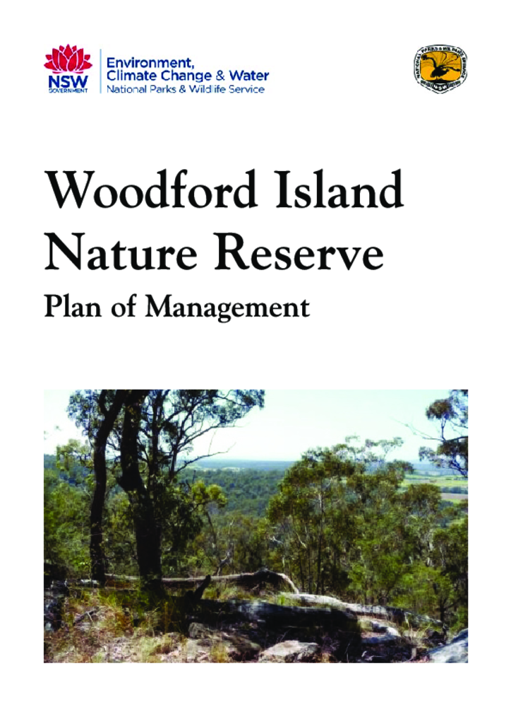
Woodford Island Nature Reserve is located north-east of Grafton and 6 kilometres south-west of Maclean. It was established in 1999 over a small part of Woodford Island, mainly the higher elevation areas, and has an area of 374 hectares.