Mount Kaputar National Park, located 40 kilometres east of Narrabri in northern NSW, covers 50,225 hectares in the traditional Country of the Gomeroi People. The park supports several threatened plant and animal species and is the north-western limit of several plant and bird species. The Kaputar Plateau offers visitors a cool refuge from the hot plains, and also spectacular scenic views.
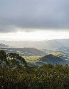
Mullion Range State Conservation Area and Girralang Nature Reserve are located within the Central West Region of NSW, to the north-east of Orange. They cover a combined area of around 1,665 hectares.
Boronga, Boomi and Boomi West Nature Reserves are situated in the far north of the north-west slopes and plains region of New South Wales, some 17 kilometres south of the Queensland Border along the Goondiwindi-Mungindi road in the vicinity of the town of Boomi.
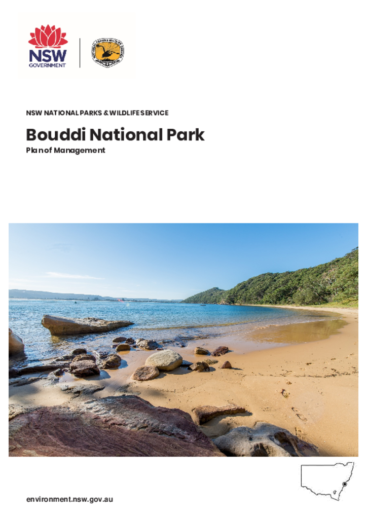
Bouddi National Park is located near Gosford on the New South Wales Central Coast in Darkinjung Country. Established in 1935, it was one of the first areas set aside and managed as a national park type of reserve.
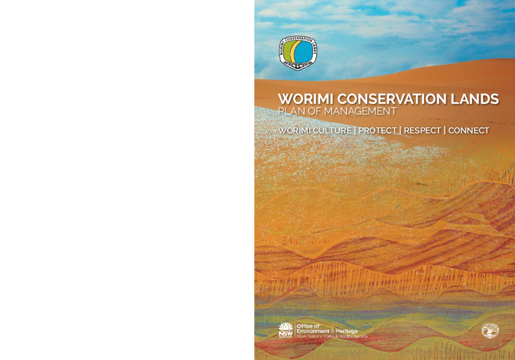
The Worimi Conservation Lands is located at Stockton Bight, between Fern Bay and Anna Bay, immediately north of the mouth of the Hunter River. This places the Worimi Conservation Lands between the major population centre of Newcastle and the popular holiday destination of Port Stephens.
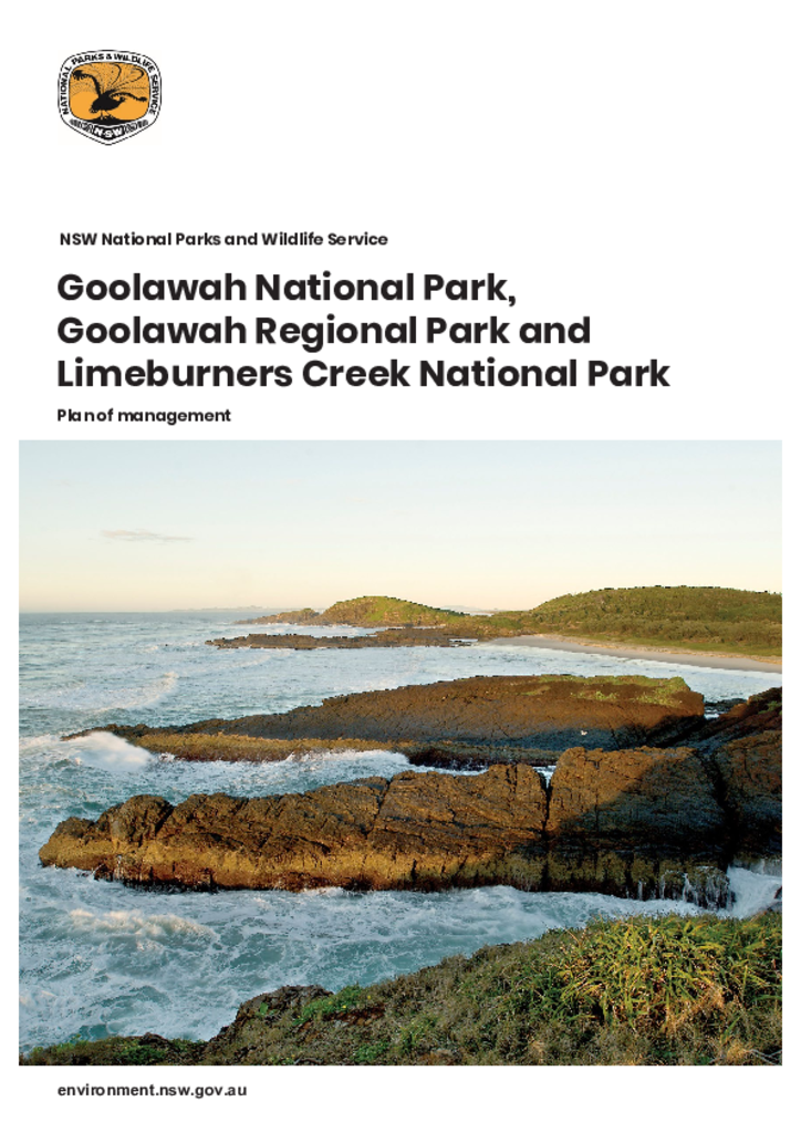
Goolawah National Park, Goolawah Regional Park and Limeburners Creek National Park are located between Port Macquarie and Crescent Head on the NSW Mid North Coast, within the traditional Country of the Dunghutti and Birpai Peoples.
Susan Island Nature Reserve covers 18 hectares or approximately one quarter of Susan Island, which is situated in the Clarence River adjacent to the city of Grafton.
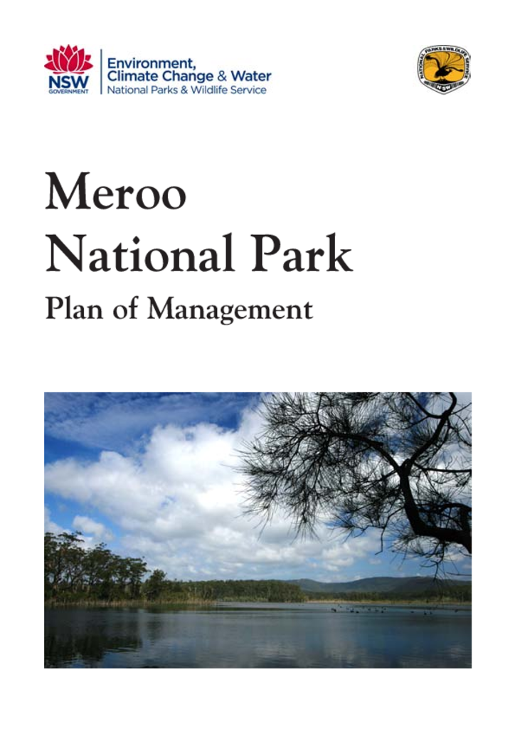
Meroo National Park is located 5 kilometres south of Ulladulla on the south coast of New South Wales. The park is in two sections and has an area of 3,826 hectares. It incorporates Barnunj State Conservation Area which was added to Meroo National Park in 2010.
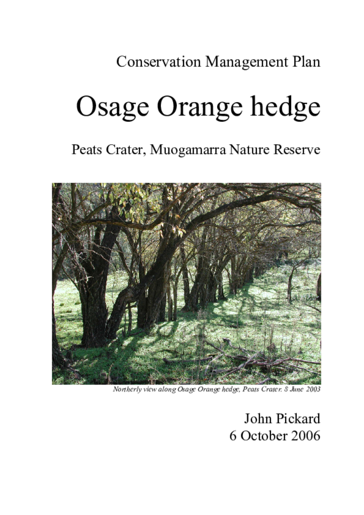
The Osage orange tree hedge dating from the mid-18th century in Peats Crater at the northern end of Muogamarra Nature Reserve is a significant cultural and historic heritage item.