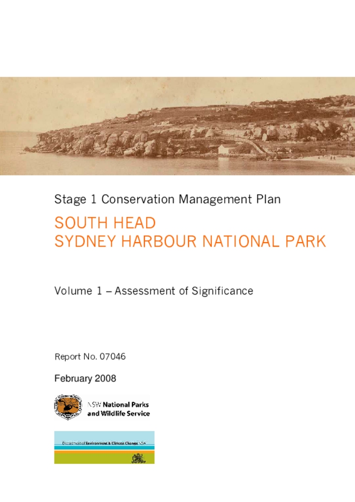
South Head forms the southern edge of the entrance to Sydney Harbour. Most of the area has been a national park since 1977, with Gap Bluff added in 1982. The site has rich natural and cultural heritage values, including at least 11 Aboriginal sites.
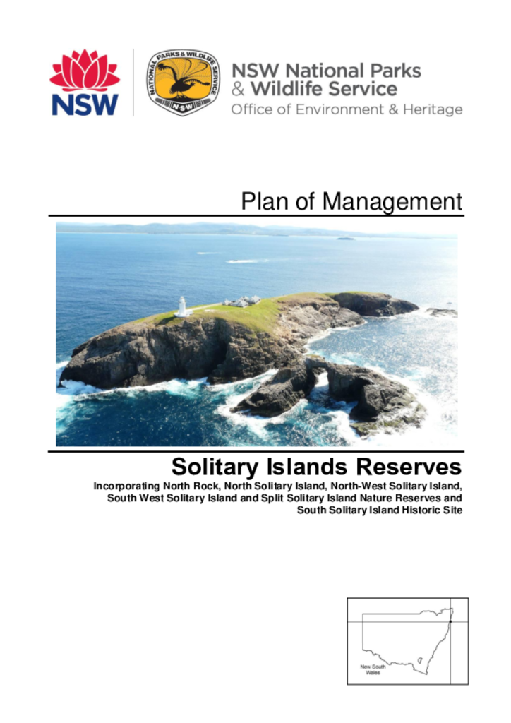
The Solitary Islands reserves comprise 5 nature reserves and the South Solitary Island Historic Site, all of which were reserved between 1959 and 2010. Totalling an area of 46 hectares, these island reserves are located between one and 12 kilometres offshore from Coffs Harbour on the NSW north coast.
Eagles Claw Nature Reserve covers an area of about 1 hectare on a section of rugged coastline in the locality of Lookout Point at Eden on the far south coast of New South Wales.
Wooyung Nature Reserve is located on the far north coast of New South Wales between Pottsville and Wooyung. The reserve consists of 87 hectares of coastal land bisected by the Tweed Coast Road. It includes approximately 2.5 kilometres of Mooball Beach and Wooyung Beach.
Nocoleche Nature Reserve is 20 kilometres south of Wanaaring in north-western NSW. The reserve is 74,728 hectares and straddles the Paroo River, including the floodplains and channels of the Paroo River and Cuttaburra and Kulkyne Creeks. The reserve’s land systems include sandplains, dissected low stony tablelands and river and channel country.
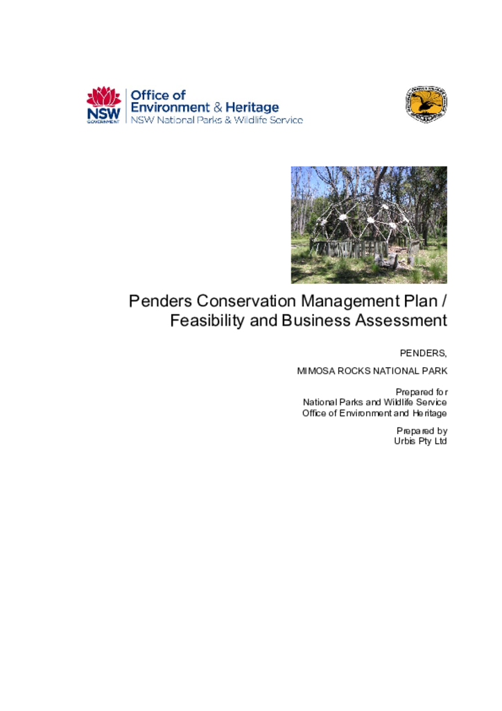
Located on the far south coast of NSW, the 220-hectare Penders property contains several buildings designed by the prominent architect Sir Roy Grounds. The property was added to Mimosa Rocks National Park in 1979.
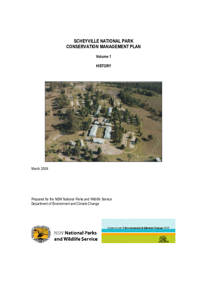
Scheyville National Park is located in the Hawkesbury region, about 50 kilometres north west of Sydney. The park has a rich Aboriginal history, with colonial occupation increasing agricultural use of the area from the 1800s.
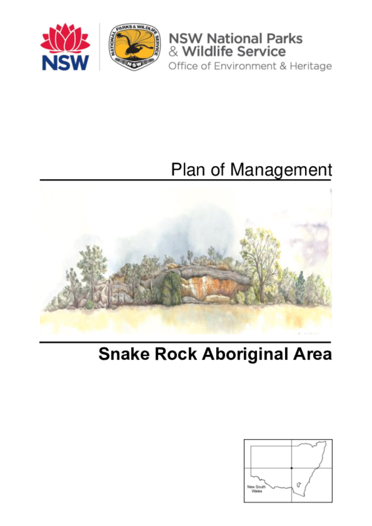
Snake Rock Aboriginal Area is a small park of 61 hectares. It is located west of Peak Hill on the semi-arid plains of central west New South Wales in Wiradjuri Country.