Camerons Gorge Nature Reserve and State Conservation Area are located near Scone in the Upper Hunter valley. Camerons Gorge Nature Reserve has an area of 1,318 hectares and Camerons Gorge State Conservation Area has an area of 429 hectares.
Culgoa National Park is located in north-western NSW, 40km west of Goodooga and 100km north of Brewarrina. The park was reserved in 1996 and has an area of 22,430 hectares.
This plan of management applies to what is now Lachlan Valley Nature Reserve. The reserve covers an area of 437 hectares and is located approximately 19 kilometres south of Booligal and 56 kilometres north of Hay in western New South Wales.
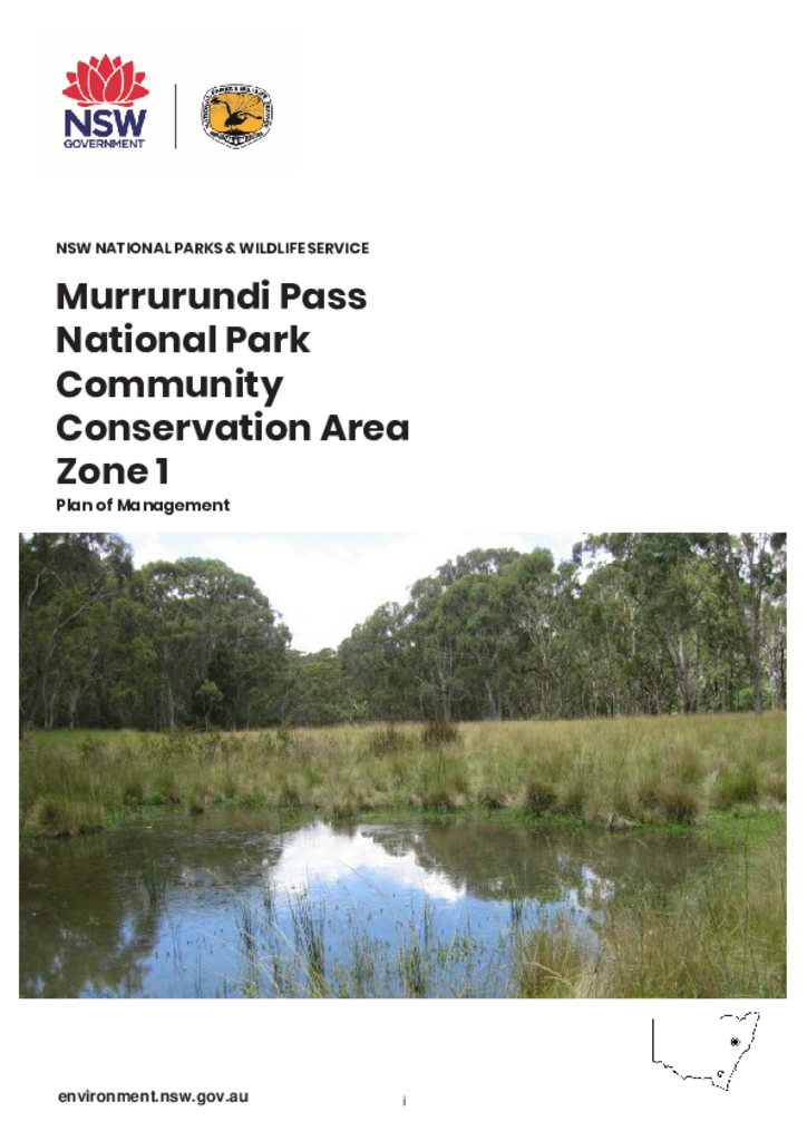
Murrurundi Pass National Park Community Conservation Area Zone 1, commonly known as Murrurundi Pass National Park, is located on the south-east side of the Liverpool Range. It is immediately east of Nowlands Gap (also known as Murrurundi Pass), two kilometres north-west of Murrurundi in the Upper Hunter district of New South Wales.
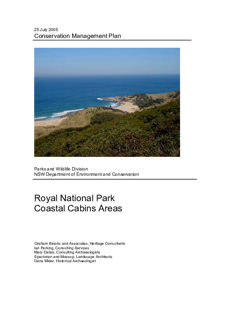
Royal National Park was established in 1879 and has been managed by the NSW National Parks and Wildlife Service (NPWS) since 1967. There are around 200 cabins in Royal National Park located at South Era, Burning Palms, Little Garie and Bulgo. The cabins are generally simple structures built in the absence of planning controls, major infrastructure and services. They are currently occupied (for short-term recreational use) under licence agreements.
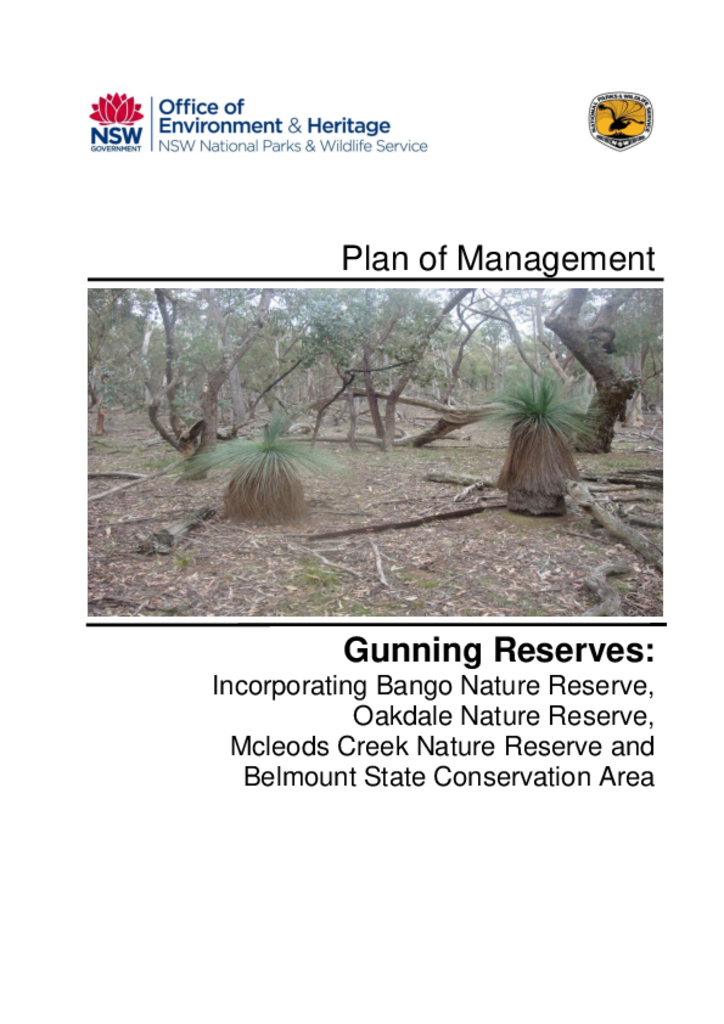
The four Gunning Reserves, located south and west of Gunning in the Southern Tablelands of NSW, have a combined area of 885 hectares comprising of Bango, Oakdale and McLeods Creek Nature Reserves and the Belmount State Conservation Area.