Oolambeyan National Park Plan of Management
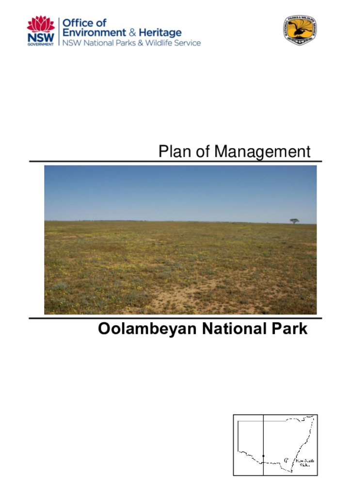
Oolambeyan National Park was established in 2002 and covers 21,851 hectares. It is situated on the Hay Plains in the Riverina Bioregion. This bioregion is one of the least protected bioregions in New South Wales.
Publisher: Office of Environment and Heritage
Cost: Free
Language: English
ISBN: 978-1-76039-277-2
/
ID: OEH20160097
File: PDF 1.06 MB / Pages 37
Name: oolambeyan-national-park-plan-of-management-160097.pdf
The park lies within the area known to be the stronghold of the nationally threatened plains-wanderer. This plan facilitates protection of habitat for this species by allowing controlled sheep grazing of native grasslands. Acquisition of the park and the management regime being applied for the plains-wanderer fulfil key components of the draft national plains-wanderer recovery plan.
Oolambeyan National Park also protects areas of endangered ecological communities, including Weeping Myall Woodlands and Sandhill Pine Woodland. Other significant values contained within the park include an additional 11 threatened animal species, 2 threatened plant species, historic heritage associated with a former merino stud and diverse Aboriginal heritage.